Qinggang night lights from space
Night Light of Qinggang (Heilongjiang) from space (China) Src. Average luminocity for 10x10km area is 8.5994% and for 50x50km: 0.4222%.
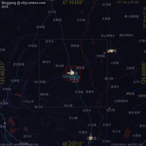
Analysis of Qinggang night lights 2016
Square area 10x10 km:
 0.57%
0.57%90-99
1.42%80-89
1.99%70-79
1.28%60-69
0.99%50-59
1.14%40-49
0.57%30-39
0%20-29
1.56%10-19
1.14%0-9
89.35%Square area 50x50 km:
0.02%90-99
0.06%80-89
0.08%70-79
0.05%60-69
0.04%50-59
0.05%40-49
0.05%30-39
0.05%20-29
0.12%10-19
0.09%0-9
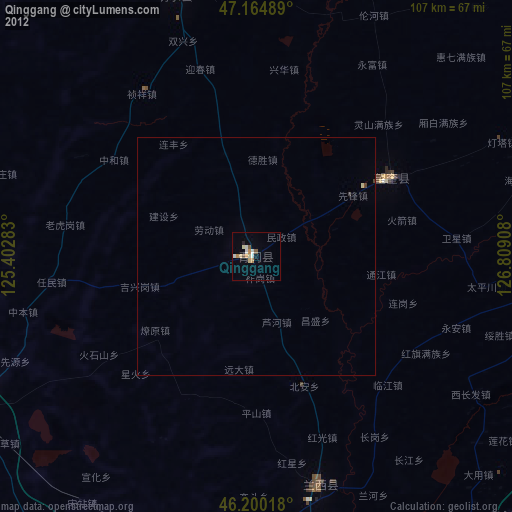
99.38%Clear (daylight) street map image can be seen on geolist.org.
Map coordinates:
47° 9' 53.6" North, 125° 24' 10.2" East
46° 41' 4.9" North, 126° 6' 21.4" East
46° 12' 0.6" North, 126° 48' 32.7" East
Some cities around Qinggang sort by population:
• Suihua
68 km =42.3 mi,  94°
94°
• Daqing
85.2 km =52.9 mi,  262°
262°
• Anda
68.2 km =42.4 mi,  242°
242°
• Zhaodong
69.3 km =43.1 mi,  187°
187°
• Longfeng
78.4 km =48.7 mi, 257°
• Lanxi
49.4 km =30.7 mi,  164°
164°
• Wangkui
32.8 km =20.4 mi,  59°
59°
• Mingshui
57.4 km =35.7 mi,  344°
344°
2035325 (p: 64,182)
Sources (retrieved 2019-11-25):
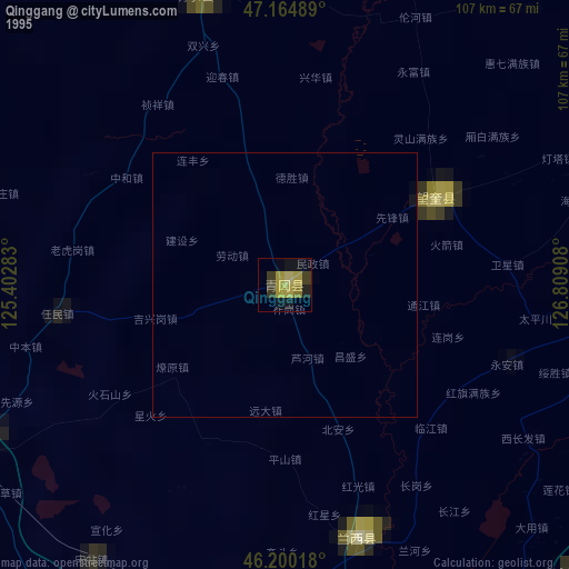
» NASA, Earths city lights 1995
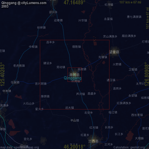
» NASA city lights 2003
» Earth at Night: Flat Maps 2012, 2016