Saynshand night lights from space
Night Light of Saynshand (East Gobi Aymag) from space (Mongolia) Src. Average luminocity for 10x10km area is 3.4429% and for 50x50km: 0.1363%.
Analysis of Saynshand night lights 2016
Square area 10x10 km:
 0%
0%90-99
0%80-89
0.79%70-79
1.11%60-69
0%50-59
0.32%40-49
1.75%30-39
1.11%20-29
1.27%10-19
0%0-9
93.65%Square area 50x50 km:
0%90-99
0%80-89
0.03%70-79
0.04%60-69
0%50-59
0.01%40-49
0.07%30-39
0.04%20-29
0.05%10-19
0%0-9
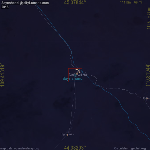
99.75%Clear (daylight) street map image can be seen on geolist.org.
Map coordinates:
45° 22' 42.4" North, 109° 24' 47.5" East
44° 52' 56.6" North, 110° 6' 58.7" East
44° 22' 55.3" North, 110° 49' 10" East
Some cities around Saynshand sort by population:
• Ulan Bator
417.8 km =259.6 mi,  323°
323°
• Зуунмод
397 km =246.7 mi, 322°
• Erenhot, CN
202 km =125.5 mi,  132°
132°
• Baruun-Urt
316.4 km =196.6 mi,  50°
50°
• Mandalgovi
316.1 km =196.4 mi,  288°
288°
• Undurkhaan
274.1 km =170.3 mi,  8°
8°
• Dzuunmod
397 km =246.7 mi, 322°
• Choyr
213.7 km =132.8 mi, 320°
2032081 (p: 19,891)
Sources (retrieved 2019-11-25):
» Earth at Night: Flat Maps 2012, 2016