Poli night lights from space
Night Light of Poli (North) from space (Cameroon) Src. Average luminocity for 10x10km area is 0% and for 50x50km: 0%.
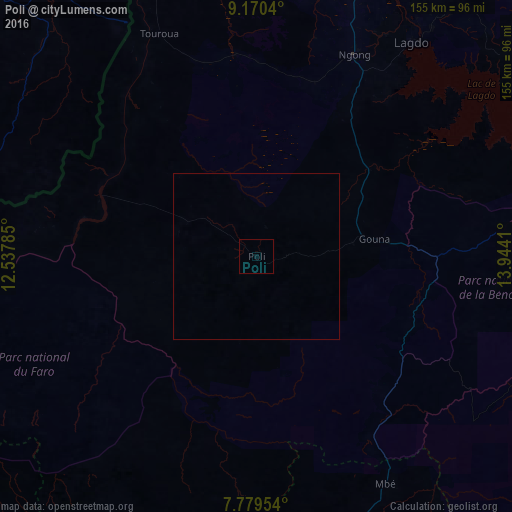
Analysis of Poli night lights 2016
Square area 10x10 km:
100  0%
0%
90-99 0%
80-89 0%
70-79 0%
60-69 0%
50-59 0%
40-49 0%
30-39 0%
20-29 0%
10-19 0%
0-9 100%
0%90-99
0%80-89
0%70-79
0%60-69
0%50-59
0%40-49
0%30-39
0%20-29
0%10-19
0%0-9
100%Square area 50x50 km:
100 0%
90-99 0%
80-89 0%
70-79 0%
60-69 0%
50-59 0%
40-49 0%
30-39 0%
20-29 0%
10-19 0%
0-9 100%
0%90-99
0%80-89
0%70-79
0%60-69
0%50-59
0%40-49
0%30-39
0%20-29
0%10-19
0%0-9
100%Clear (daylight) street map image can be seen on geolist.org.
Map coordinates:
9° 10' 13.4" North, 12° 32' 16.3" East
8° 28' 32.2" North, 13° 14' 27.5" East
7° 46' 46.3" North, 13° 56' 38.8" East
Some cities around Poli sort by population:
• Garoua
93.4 km =58 mi,  10°
10°
• Jimeta, NG
124 km =77.1 mi,  316°
316°
• Yola, NG
116.6 km =72.5 mi,  314°
314°
• Lagdo
79.9 km =49.6 mi,  35°
35°
• Tcholliré
102.5 km =63.7 mi,  94°
94°
• Rey Bouba
105.4 km =65.5 mi,  78°
78°
• Pitoa
105 km =65.2 mi,  15°
15°
• Kontcha
124.5 km =77.4 mi,  242°
242°
2222539 (p: 5,727)
Sources (retrieved 2019-11-25):
» Earth at Night: Flat Maps 2012, 2016