Yagoua night lights from space
Night Light of Yagoua (Far North) from space (Cameroon) Src. Average luminocity for 10x10km area is 0.7996% and for 50x50km: 0.0841%.
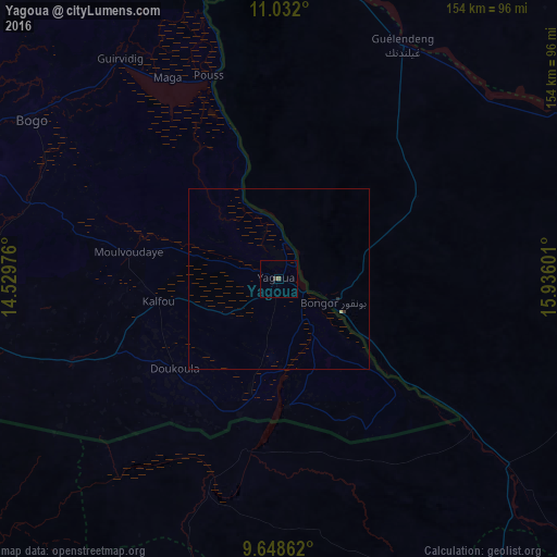


Analysis of Yagoua night lights 2016
Square area 10x10 km:
 0%
0%90-99
0%80-89
0%70-79
0%60-69
0%50-59
0.83%40-49
0%30-39
0.83%20-29
0%10-19
0%0-9
98.35%Square area 50x50 km:
0%90-99
0%80-89
0.03%70-79
0%60-69
0%50-59
0.03%40-49
0%30-39
0.07%20-29
0.03%10-19
0%0-9
99.83%Clear (daylight) street map image can be seen on geolist.org.
Map coordinates:
11° 1' 55.2" North, 14° 31' 47.1" East
10° 20' 27.9" North, 15° 13' 58.4" East
9° 38' 55" North, 15° 56' 9.6" East
Some cities around Yagoua sort by population:
• Maroua
104 km =64.6 mi,  285°
285°
• Pala, TD
114.4 km =71.1 mi,  198°
198°
• Bongor, TD
16.7 km =10.4 mi,  113°
113°
• Kaélé
89.4 km =55.6 mi,  253°
253°
• Bogo
80.9 km =50.3 mi,  302°
302°
• Guelendeng, TD
72.9 km =45.3 mi,  28°
28°
• Mindif
87.4 km =54.3 mi,  274°
274°
• Gounou Gaya, TD
84.9 km =52.8 mi,  158°
158°
2221030 (p: 80,235)
Sources (retrieved 2019-11-25):
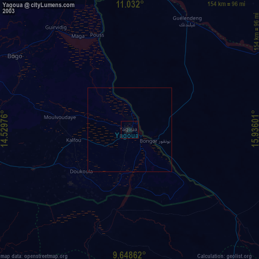
» NASA, Earths city lights 1995
» NASA city lights 2003
» Earth at Night: Flat Maps 2012, 2016