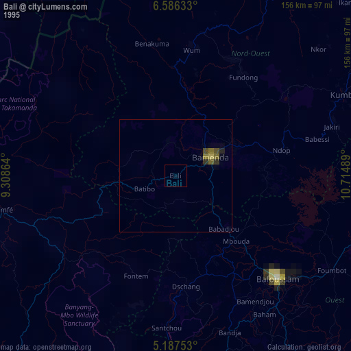
Bali night lights from space
Night Light of Bali (North-West) from space (Cameroon) Src. Average luminocity for 10x10km area is 0% and for 50x50km: 0.2607%.
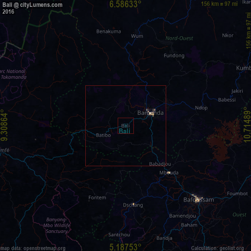
Analysis of Bali night lights 2016
Square area 10x10 km:
 0%
0%90-99
0%80-89
0%70-79
0%60-69
0%50-59
0%40-49
0%30-39
0%20-29
0%10-19
0%0-9
100%Square area 50x50 km:
0%90-99
0%80-89
0.05%70-79
0.02%60-69
0%50-59
0.12%40-49
0.14%30-39
0.03%20-29
0.1%10-19
0.04%0-9
99.5%Clear (daylight) street map image can be seen on geolist.org.
Map coordinates:
6° 35' 10.8" North, 9° 18' 31.1" East
5° 53' 14.5" North, 10° 0' 42.3" East
5° 11' 15.1" North, 10° 42' 53.6" East
Some cities around Bali sort by population:
• Bamenda
16.9 km =10.5 mi,  61°
61°
• Mbouda
39.5 km =24.5 mi,  137°
137°
• Fontem
48.7 km =30.3 mi,  197°
197°
• Babanki
36.7 km =22.8 mi,  45°
45°
• Mbengwi
14.4 km =8.9 mi,  354°
354°
• Batibo
18.2 km =11.3 mi,  251°
251°
• Belo
38 km =23.6 mi,  43°
43°
• Njinikom
48.8 km =30.3 mi, 37°
2235029 (p: 72,606)
Sources (retrieved 2019-11-25):
» NASA, Earths city lights 1995
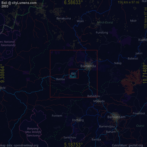
» NASA city lights 2003
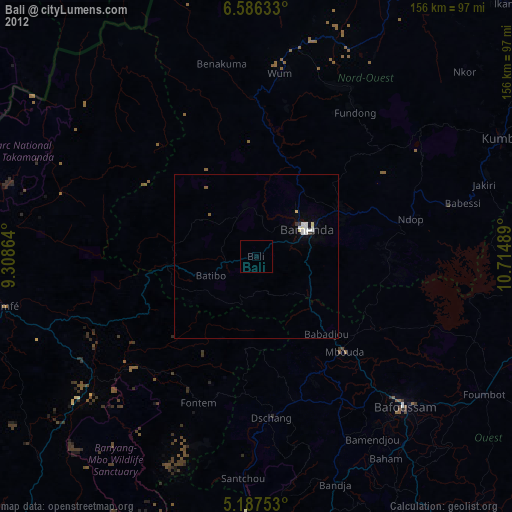
» Earth at Night: Flat Maps 2012, 2016