Nguti night lights from space
Night Light of Nguti (South-West) from space (Cameroon) Src. Average luminocity for 10x10km area is 0% and for 50x50km: 0.0219%.
Analysis of Nguti night lights 2016
Square area 10x10 km:
100  0%
0%
90-99 0%
80-89 0%
70-79 0%
60-69 0%
50-59 0%
40-49 0%
30-39 0%
20-29 0%
10-19 0%
0-9 100%
0%90-99
0%80-89
0%70-79
0%60-69
0%50-59
0%40-49
0%30-39
0%20-29
0%10-19
0%0-9
100%Square area 50x50 km:
100 0%
90-99 0%
80-89 0%
70-79 0%
60-69 0%
50-59 0%
40-49 0%
30-39 0%
20-29 0.07%
10-19 0%
0-9 99.93%
0%90-99
0%80-89
0%70-79
0%60-69
0%50-59
0%40-49
0%30-39
0%20-29
0.07%10-19
0%0-9
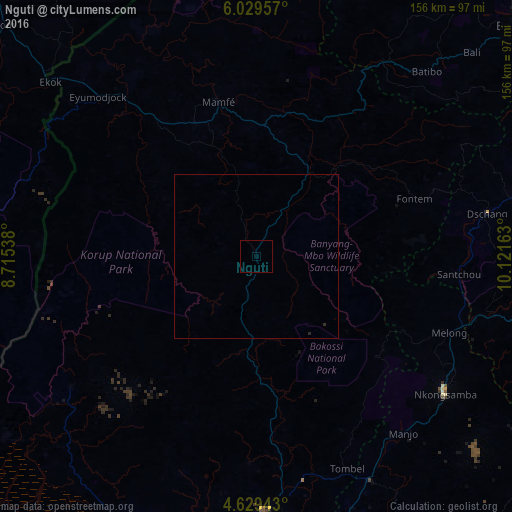
99.93%Clear (daylight) street map image can be seen on geolist.org.
Map coordinates:
6° 1' 46.5" North, 8° 42' 55.4" East
5° 19' 47.6" North, 9° 25' 6.6" East
4° 37' 45.9" North, 10° 7' 17.9" East
Some cities around Nguti sort by population:
• Nkongsamba
71.3 km =44.3 mi,  125°
125°
• Dschang
71.4 km =44.4 mi,  79°
79°
• Fontem
53.6 km =33.3 mi,  73°
73°
• Manjo
70.2 km =43.6 mi,  140°
140°
• Melong
64.4 km =40 mi,  111°
111°
• Mamfe
48.3 km =30 mi,  346°
346°
• Mundemba
73.9 km =45.9 mi,  234°
234°
• Bekondo
72.8 km =45.2 mi,  188°
188°
2224413 (p: 5,498)
Sources (retrieved 2019-11-25):
» Earth at Night: Flat Maps 2012, 2016