Fontem night lights from space
Night Light of Fontem (South-West) from space (Cameroon) Src. Average luminocity for 10x10km area is 0% and for 50x50km: 0.0358%.

Analysis of Fontem night lights 2016
Square area 10x10 km:
100  0%
0%
90-99 0%
80-89 0%
70-79 0%
60-69 0%
50-59 0%
40-49 0%
30-39 0%
20-29 0%
10-19 0%
0-9 100%
0%90-99
0%80-89
0%70-79
0%60-69
0%50-59
0%40-49
0%30-39
0%20-29
0%10-19
0%0-9
100%Square area 50x50 km:
100 0%
90-99 0%
80-89 0%
70-79 0.03%
60-69 0%
50-59 0%
40-49 0%
30-39 0%
20-29 0%
10-19 0.07%
0-9 99.9%
0%90-99
0%80-89
0%70-79
0.03%60-69
0%50-59
0%40-49
0%30-39
0%20-29
0%10-19
0.07%0-9
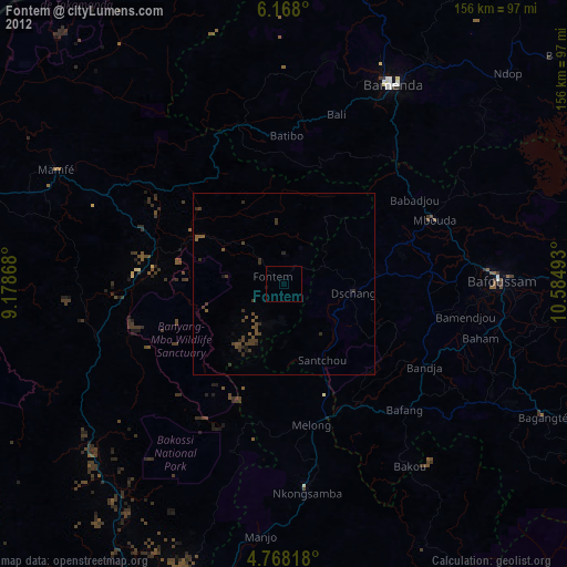
99.9%Clear (daylight) street map image can be seen on geolist.org.
Map coordinates:
6° 10' 4.8" North, 9° 10' 43.2" East
5° 28' 6.6" North, 9° 52' 54.5" East
4° 46' 5.4" North, 10° 35' 5.7" East
Some cities around Fontem sort by population:
• Mbouda
44.8 km =27.8 mi,  66°
66°
• Dschang
19.2 km =11.9 mi,  98°
98°
• Bafang
47.6 km =29.6 mi,  136°
136°
• Bali
48.7 km =30.3 mi,  17°
17°
• Melong
39.5 km =24.5 mi,  167°
167°
• Batibo
40.9 km =25.4 mi,  355°
355°
• Bansoa
47.8 km =29.7 mi,  92°
92°
• Bamendjou
50.4 km =31.3 mi, 99°
2231564 (p: 42,689)
Sources (retrieved 2019-11-25):
» Earth at Night: Flat Maps 2012, 2016