Bamendjou night lights from space
Night Light of Bamendjou (West) from space (Cameroon) Src. Average luminocity for 10x10km area is 0% and for 50x50km: 0.3477%.
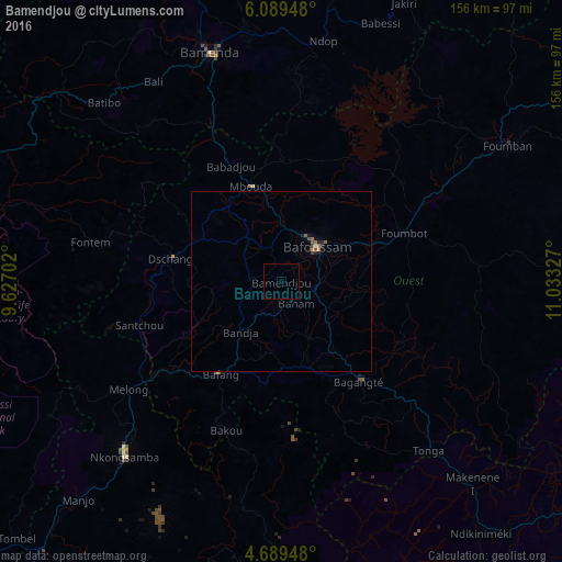
Analysis of Bamendjou night lights 2016
Square area 10x10 km:
100  0%
0%
90-99 0%
80-89 0%
70-79 0%
60-69 0%
50-59 0%
40-49 0%
30-39 0%
20-29 0%
10-19 0%
0-9 100%
0%90-99
0%80-89
0%70-79
0%60-69
0%50-59
0%40-49
0%30-39
0%20-29
0%10-19
0%0-9
100%Square area 50x50 km:
100 0%
90-99 0.01%
80-89 0.03%
70-79 0.06%
60-69 0.03%
50-59 0.18%
40-49 0.12%
30-39 0.02%
20-29 0.06%
10-19 0.15%
0-9 99.35%
0%90-99
0.01%80-89
0.03%70-79
0.06%60-69
0.03%50-59
0.18%40-49
0.12%30-39
0.02%20-29
0.06%10-19
0.15%0-9
99.35%Clear (daylight) street map image can be seen on geolist.org.
Map coordinates:
6° 5' 22.1" North, 9° 37' 37.3" East
5° 23' 23.6" North, 10° 19' 48.5" East
4° 41' 22.1" North, 11° 1' 59.8" East
Some cities around Bamendjou sort by population:
• Bafoussam
13.8 km =8.6 mi,  44°
44°
• Mbouda
27.6 km =17.1 mi,  342°
342°
• Dschang
31.2 km =19.4 mi,  281°
281°
• Bafang
30.9 km =19.2 mi,  213°
213°
• Ngou
22.3 km =13.9 mi,  163°
163°
• Bansoa
6.8 km =4.2 mi, 344°
• Bandjoun
9.3 km =5.8 mi,  99°
99°
• Bana
27.7 km =17.2 mi,  192°
192°
2234968 (p: 6,643)
Sources (retrieved 2019-11-25):
» Earth at Night: Flat Maps 2012, 2016