Bangangté night lights from space
Night Light of Bangangté (West) from space (Cameroon) Src. Average luminocity for 10x10km area is 1.031% and for 50x50km: 0.1509%.
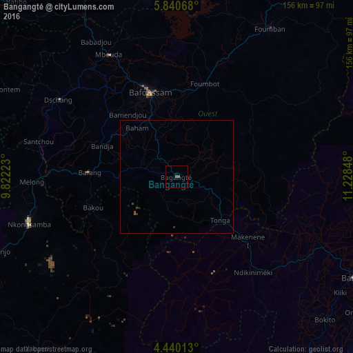
Analysis of Bangangté night lights 2016
Square area 10x10 km:
 0%
0%90-99
0%80-89
0%70-79
0%60-69
0%50-59
1.24%40-49
0.41%30-39
0%20-29
0%10-19
0.62%0-9
97.73%Square area 50x50 km:
0%90-99
0%80-89
0%70-79
0%60-69
0%50-59
0.1%40-49
0.07%30-39
0.1%20-29
0.03%10-19
0.06%0-9
99.63%Clear (daylight) street map image can be seen on geolist.org.
Map coordinates:
5° 50' 26.4" North, 9° 49' 20" East
5° 8' 26.8" North, 10° 31' 31.3" East
4° 26' 24.5" North, 11° 13' 42.5" East
Some cities around Bangangté sort by population:
• Bafoussam
39.3 km =24.4 mi,  342°
342°
• Bafang
38.6 km =24 mi,  272°
272°
• Tonga
27.4 km =17 mi,  135°
135°
• Bazou
11 km =6.8 mi,  215°
215°
• Ngou
16.6 km =10.3 mi,  291°
291°
• Bandjoun
28.9 km =18 mi,  334°
334°
• Bamendjou
35.1 km =21.8 mi,  322°
322°
• Bana
27.7 km =17.2 mi, 271°
2234865 (p: 65,385)
Sources (retrieved 2019-11-25):
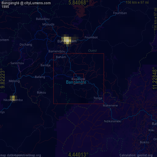
» NASA, Earths city lights 1995
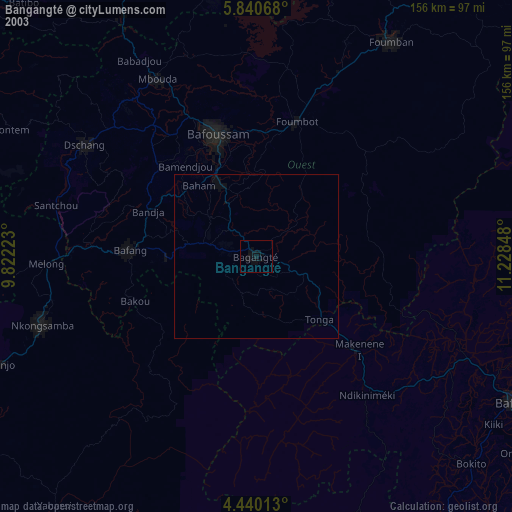
» NASA city lights 2003
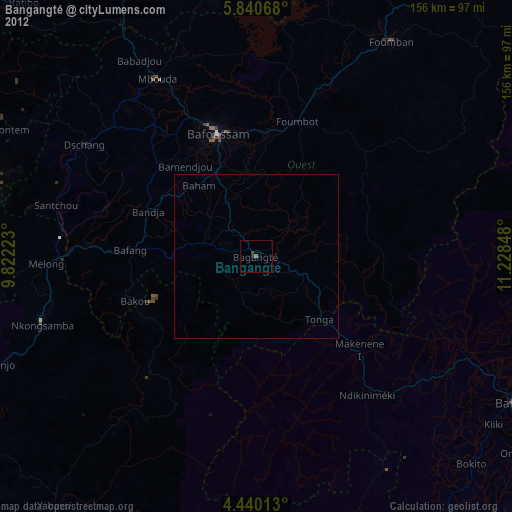
» Earth at Night: Flat Maps 2012, 2016