Ngou night lights from space
Night Light of Ngou (West) from space (Cameroon) Src. Average luminocity for 10x10km area is 0% and for 50x50km: 0.1748%.
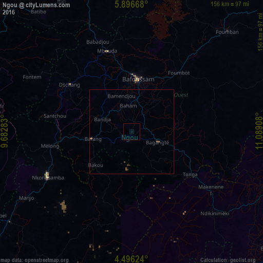
Analysis of Ngou night lights 2016
Square area 10x10 km:
100  0%
0%
90-99 0%
80-89 0%
70-79 0%
60-69 0%
50-59 0%
40-49 0%
30-39 0%
20-29 0%
10-19 0%
0-9 100%
0%90-99
0%80-89
0%70-79
0%60-69
0%50-59
0%40-49
0%30-39
0%20-29
0%10-19
0%0-9
100%Square area 50x50 km:
100 0%
90-99 0%
80-89 0%
70-79 0%
60-69 0%
50-59 0.17%
40-49 0.07%
30-39 0.07%
20-29 0.03%
10-19 0.06%
0-9 99.6%
0%90-99
0%80-89
0%70-79
0%60-69
0%50-59
0.17%40-49
0.07%30-39
0.07%20-29
0.03%10-19
0.06%0-9
99.6%Clear (daylight) street map image can be seen on geolist.org.
Map coordinates:
5° 53' 48" North, 9° 40' 58.2" East
5° 11' 48.7" North, 10° 23' 9.4" East
4° 29' 46.5" North, 11° 5' 20.7" East
Some cities around Ngou sort by population:
• Bafoussam
31.4 km =19.5 mi,  6°
6°
• Bafang
23.5 km =14.6 mi,  259°
259°
• Bangangté
16.6 km =10.3 mi,  111°
111°
• Bazou
17.7 km =11 mi,  149°
149°
• Bansoa
29.1 km =18.1 mi,  344°
344°
• Bandjoun
20.1 km =12.5 mi, 8°
• Bamendjou
22.3 km =13.9 mi, 343°
• Bana
13.5 km =8.4 mi,  245°
245°
2234842 (p: 7,560)
Sources (retrieved 2019-11-25):
» Earth at Night: Flat Maps 2012, 2016