Bafoussam night lights from space
Night Light of Bafoussam (West) from space (Cameroon) Src. Average luminocity for 10x10km area is 8.1612% and for 50x50km: 0.3975%.
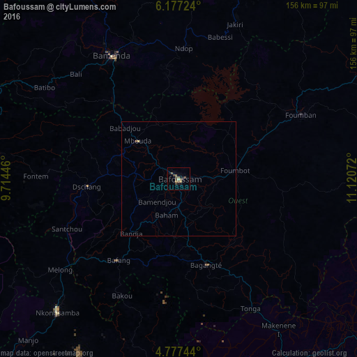
Analysis of Bafoussam night lights 2016
Square area 10x10 km:
 0%
0%90-99
0.21%80-89
0.62%70-79
1.45%60-69
0.83%50-59
4.34%40-49
2.89%30-39
0.41%20-29
1.45%10-19
3.51%0-9
84.3%Square area 50x50 km:
0%90-99
0.01%80-89
0.06%70-79
0.06%60-69
0.03%50-59
0.21%40-49
0.12%30-39
0.02%20-29
0.06%10-19
0.15%0-9
99.27%Clear (daylight) street map image can be seen on geolist.org.
Map coordinates:
6° 10' 38.1" North, 9° 42' 52.1" East
5° 28' 39.9" North, 10° 25' 3.3" East
4° 46' 38.8" North, 11° 7' 14.6" East
Some cities around Bafoussam sort by population:
• Mbouda
24.5 km =15.2 mi,  312°
312°
• Foumbot
24 km =14.9 mi,  81°
81°
• Bangangté
39.3 km =24.4 mi,  162°
162°
• Ngou
31.4 km =19.5 mi,  186°
186°
• Bansoa
12 km =7.5 mi,  254°
254°
• Bandjoun
11.4 km =7.1 mi,  182°
182°
• Bamendjou
13.8 km =8.6 mi,  224°
224°
• Bana
40 km =24.9 mi,  203°
203°
2235189 (p: 290,768)
Sources (retrieved 2019-11-25):
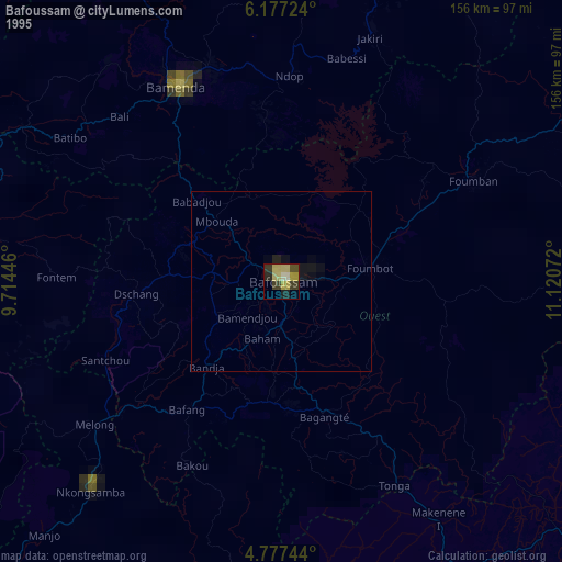
» NASA, Earths city lights 1995
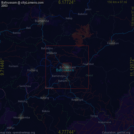
» NASA city lights 2003
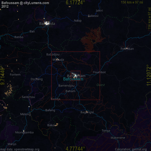
» Earth at Night: Flat Maps 2012, 2016