Mbouda night lights from space
Night Light of Mbouda (West) from space (Cameroon) Src. Average luminocity for 10x10km area is 1.2355% and for 50x50km: 0.4285%.
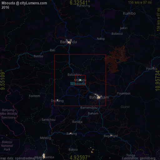
Analysis of Mbouda night lights 2016
Square area 10x10 km:
 0%
0%90-99
0%80-89
0.83%70-79
0%60-69
0%50-59
0.83%40-49
0%30-39
0%20-29
0%10-19
0.21%0-9
98.14%Square area 50x50 km:
0%90-99
0.01%80-89
0.06%70-79
0.09%60-69
0.03%50-59
0.21%40-49
0.12%30-39
0.02%20-29
0.06%10-19
0.19%0-9
99.2%Clear (daylight) street map image can be seen on geolist.org.
Map coordinates:
6° 19' 31.5" North, 9° 33' 3.9" East
5° 37' 34" North, 10° 15' 15.2" East
4° 55' 33.5" North, 10° 57' 26.4" East
Some cities around Mbouda sort by population:
• Bamenda
39 km =24.2 mi,  342°
342°
• Bafoussam
24.5 km =15.2 mi,  132°
132°
• Dschang
30.1 km =18.7 mi,  227°
227°
• Foumbot
43.9 km =27.3 mi,  107°
107°
• Bali
39.5 km =24.5 mi,  317°
317°
• Bansoa
20.8 km =12.9 mi,  161°
161°
• Bandjoun
32.9 km =20.4 mi,  147°
147°
• Bamendjou
27.6 km =17.1 mi, 162°
2227613 (p: 111,320)
Sources (retrieved 2019-11-25):
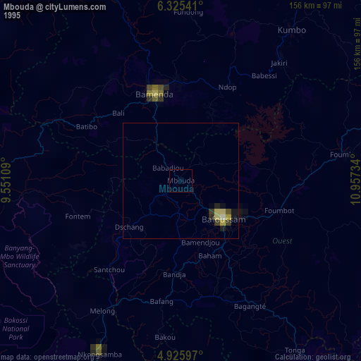
» NASA, Earths city lights 1995
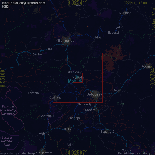
» NASA city lights 2003
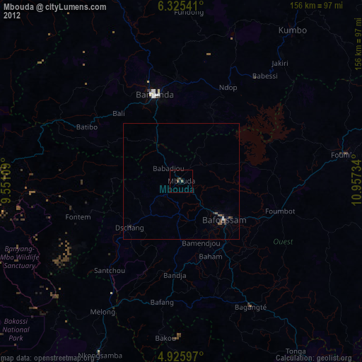
» Earth at Night: Flat Maps 2012, 2016