Bazou night lights from space
Night Light of Bazou (West) from space (Cameroon) Src. Average luminocity for 10x10km area is 0% and for 50x50km: 0.2173%.
Analysis of Bazou night lights 2016
Square area 10x10 km:
100  0%
0%
90-99 0%
80-89 0%
70-79 0%
60-69 0%
50-59 0%
40-49 0%
30-39 0%
20-29 0%
10-19 0%
0-9 100%
0%90-99
0%80-89
0%70-79
0%60-69
0%50-59
0%40-49
0%30-39
0%20-29
0%10-19
0%0-9
100%Square area 50x50 km:
100 0%
90-99 0%
80-89 0%
70-79 0%
60-69 0%
50-59 0.13%
40-49 0.11%
30-39 0.14%
20-29 0.1%
10-19 0.06%
0-9 99.46%
0%90-99
0%80-89
0%70-79
0%60-69
0%50-59
0.13%40-49
0.11%30-39
0.14%20-29
0.1%10-19
0.06%0-9
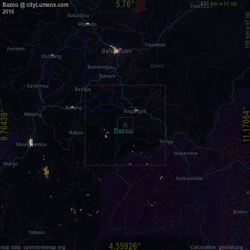
99.46%Clear (daylight) street map image can be seen on geolist.org.
Map coordinates:
5° 45' 36" North, 9° 45' 51.8" East
5° 3' 36" North, 10° 28' 3" East
4° 21' 33.3" North, 11° 10' 14.3" East
Some cities around Bazou sort by population:
• Bafang
33.9 km =21.1 mi,  288°
288°
• Bangangté
11 km =6.8 mi,  35°
35°
• Tonga
27.8 km =17.3 mi,  111°
111°
• Bansoa
46.4 km =28.8 mi,  338°
338°
• Ngou
17.7 km =11 mi,  329°
329°
• Bandjoun
35.6 km =22.1 mi,  350°
350°
• Bamendjou
39.7 km =24.7 mi, 337°
• Bana
23.3 km =14.5 mi, 294°
2234635 (p: 13,058)
Sources (retrieved 2019-11-25):
» Earth at Night: Flat Maps 2012, 2016