Sangmélima night lights from space
Night Light of Sangmélima (South) from space (Cameroon) Src. Average luminocity for 10x10km area is 0% and for 50x50km: 0.0678%.
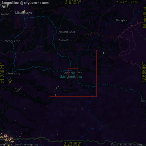
Analysis of Sangmélima night lights 2016
Square area 10x10 km:
 0%
0%90-99
0%80-89
0%70-79
0%60-69
0%50-59
0%40-49
0%30-39
0%20-29
0%10-19
0%0-9
100%Square area 50x50 km:
0%90-99
0%80-89
0%70-79
0%60-69
0%50-59
0%40-49
0%30-39
0.1%20-29
0.07%10-19
0.03%0-9
99.79%Clear (daylight) street map image can be seen on geolist.org.
Map coordinates:
3° 38' 7.1" North, 11° 16' 48.8" East
2° 55' 60" North, 11° 58' 60" East
2° 13' 51.3" North, 12° 41' 11.3" East
Some cities around Sangmélima sort by population:
• Yaoundé
116 km =72.1 mi,  333°
333°
• Ébolowa
92.6 km =57.5 mi,  267°
267°
• Mbalmayo
84.2 km =52.3 mi,  320°
320°
• Ebebiyin, GQ
112.9 km =70.2 mi,  219°
219°
• Akonolinga
97.3 km =60.5 mi,  17°
17°
• Bitam, GA
109.4 km =68 mi,  209°
209°
• Ambam
98.9 km =61.5 mi,  231°
231°
• Okola
137.6 km =85.5 mi, 331°
2222230 (p: 54,251)
Sources (retrieved 2019-11-25):
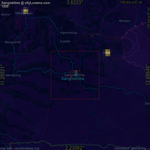
» NASA, Earths city lights 1995
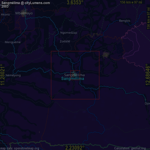
» NASA city lights 2003
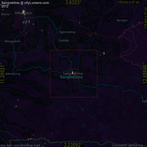
» Earth at Night: Flat Maps 2012, 2016