Mbalmayo night lights from space
Night Light of Mbalmayo (Centre) from space (Cameroon) Src. Average luminocity for 10x10km area is 3.7424% and for 50x50km: 0.462%.

Analysis of Mbalmayo night lights 2016
Square area 10x10 km:
 0%
0%90-99
0%80-89
0%70-79
1.3%60-69
1.3%50-59
1.73%40-49
0.87%30-39
0%20-29
0.22%10-19
0.87%0-9
93.72%Square area 50x50 km:
0.03%90-99
0%80-89
0%70-79
0.08%60-69
0.17%50-59
0.1%40-49
0.03%30-39
0%20-29
0.11%10-19
0.48%0-9
98.99%Clear (daylight) street map image can be seen on geolist.org.
Map coordinates:
4° 13' 5.5" North, 10° 47' 48.8" East
3° 31' 0" North, 11° 30' 0" East
2° 48' 52.6" North, 12° 12' 11.3" East
Some cities around Mbalmayo sort by population:
• Yaoundé
39 km =24.2 mi,  2°
2°
• Ébolowa
78.8 km =49 mi,  209°
209°
• Sangmélima
84.2 km =52.3 mi,  140°
140°
• Obala
72.4 km =45 mi, 2°
• Lolodorf
90.7 km =56.4 mi,  249°
249°
• Eséka
82.7 km =51.4 mi,  280°
280°
• Akonolinga
87.7 km =54.5 mi,  71°
71°
• Okola
57.1 km =35.5 mi,  346°
346°
2228079 (p: 80,206)
Sources (retrieved 2019-11-25):
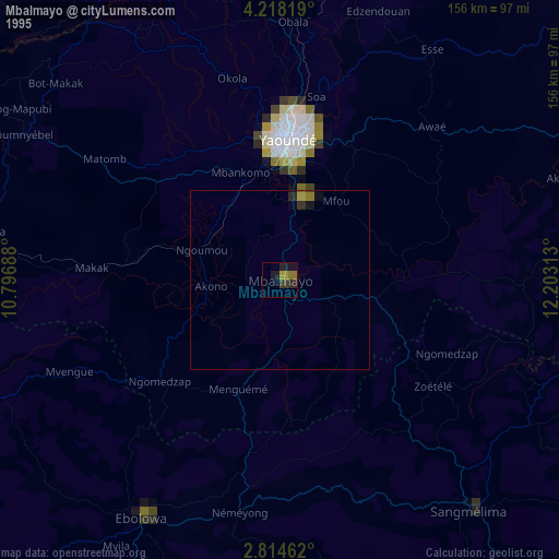
» NASA, Earths city lights 1995
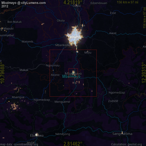
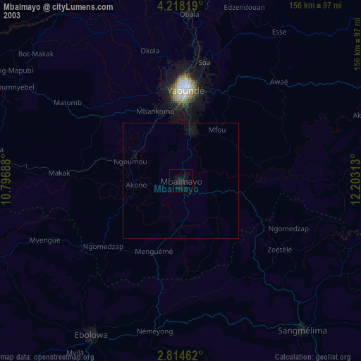
» NASA city lights 2003
» Earth at Night: Flat Maps 2012, 2016