Bélel night lights from space
Night Light of Bélel (Adamaoua) from space (Cameroon) Src. Average luminocity for 10x10km area is 0% and for 50x50km: 0%.
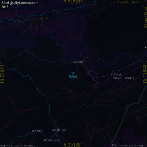
Analysis of Bélel night lights 2016
Square area 10x10 km:
 0%
0%90-99
0%80-89
0%70-79
0%60-69
0%50-59
0%40-49
0%30-39
0%20-29
0%10-19
0%0-9
100%Square area 50x50 km:
0%90-99
0%80-89
0%70-79
0%60-69
0%50-59
0%40-49
0%30-39
0%20-29
0%10-19
0%0-9
100%Clear (daylight) street map image can be seen on geolist.org.
Map coordinates:
7° 44' 50.2" North, 13° 43' 48.8" East
7° 3' 0" North, 14° 25' 60" East
6° 21' 6" North, 15° 8' 11.3" East
Some cities around Bélel sort by population:
• Ngaoundéré
98.6 km =61.3 mi,  288°
288°
• Meïganga
61.1 km =38 mi,  193°
193°
• Garoua Boulaï
130.4 km =81 mi,  174°
174°
• Bouar, CF
178.6 km =111 mi,  134°
134°
• Tcholliré
153.1 km =95.1 mi,  349°
349°
• Bétaré Oya
165.8 km =103 mi, 193°
• Rey Bouba
182.6 km =113.5 mi, 351°
• Poli
205.9 km =127.9 mi,  320°
320°
2234520 (p: 6,831)
Sources (retrieved 2019-11-25):
» Earth at Night: Flat Maps 2012, 2016