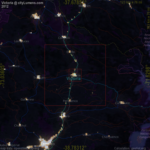
Victoria night lights from space
Night Light of Victoria (Araucanía) from space (Chile) Src. Average luminocity for 10x10km area is 9.8503% and for 50x50km: 0.7944%.
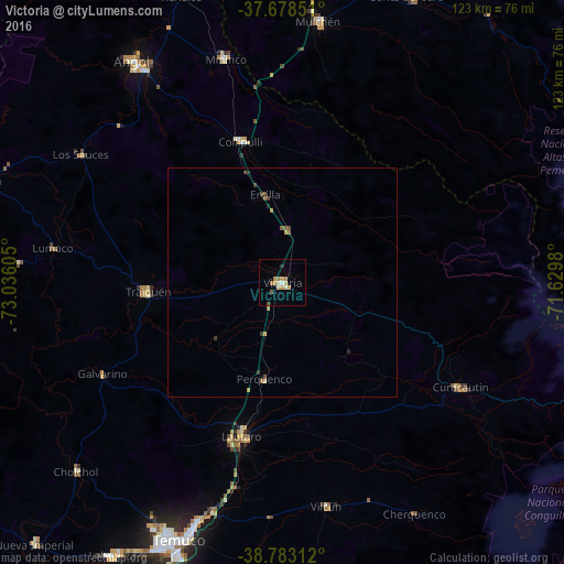
Analysis of Victoria night lights 2016
Square area 10x10 km:
 0.68%
0.68%90-99
1.19%80-89
1.87%70-79
2.89%60-69
2.21%50-59
0.17%40-49
0.85%30-39
0%20-29
0.68%10-19
0%0-9
89.46%Square area 50x50 km:
0.03%90-99
0.05%80-89
0.1%70-79
0.2%60-69
0.17%50-59
0.13%40-49
0.17%30-39
0.16%20-29
0.08%10-19
0.03%0-9
98.89%Clear (daylight) street map image can be seen on geolist.org.
Map coordinates:
37° 40' 42.6" South, 73° 2' 9.8" West
38° 13' 58.5" South, 72° 19' 58.5" West
38° 46' 59.2" South, 71° 37' 47.3" West
Some cities around Victoria sort by population:
• Temuco
60.9 km =37.8 mi,  202°
202°
• Angol
59.1 km =36.7 mi,  325°
325°
• Mulchén
57.7 km =35.9 mi,  8°
8°
• Lautaro
34.3 km =21.3 mi, 195°
• Nueva Imperial
78.2 km =48.6 mi,  223°
223°
• Collipulli
32.2 km =20 mi,  343°
343°
• Traiguén
29.5 km =18.3 mi,  266°
266°
• Vilcún
49.4 km =30.7 mi,  169°
169°
3868326 (p: 24,555)
Sources (retrieved 2019-11-25):
» Earth at Night: Flat Maps 2012, 2016