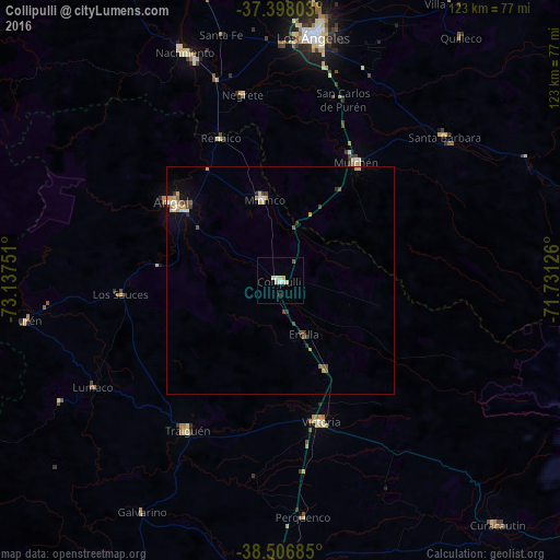
Collipulli night lights from space
Night Light of Collipulli (Araucanía) from space (Chile) Src. Average luminocity for 10x10km area is 6.5065% and for 50x50km: 1.6205%.
Analysis of Collipulli night lights 2016
Square area 10x10 km:
 1.14%
1.14%90-99
1.46%80-89
1.46%70-79
1.14%60-69
0%50-59
0.65%40-49
0%30-39
0.65%20-29
0%10-19
0%0-9
93.51%Square area 50x50 km:
0.13%90-99
0.24%80-89
0.22%70-79
0.35%60-69
0.15%50-59
0.28%40-49
0.21%30-39
0.26%20-29
0.09%10-19
0.39%0-9
97.68%Clear (daylight) street map image can be seen on geolist.org.
Map coordinates:
37° 23' 52.9" South, 73° 8' 15" West
37° 57' 16.3" South, 72° 26' 3.8" West
38° 30' 24.7" South, 71° 43' 52.5" West
Some cities around Collipulli sort by population:
• Los Ángeles
54.4 km =33.8 mi,  7°
7°
• Angol
30.4 km =18.9 mi,  305°
305°
• Victoria
32.2 km =20 mi,  163°
163°
• Mulchén
31.2 km =19.4 mi,  32°
32°
• Lautaro
64.1 km =39.8 mi,  180°
180°
• Nacimiento
54.5 km =33.9 mi,  337°
337°
• Laja
78.4 km =48.7 mi, 341°
• Traiguén
38.8 km =24.1 mi,  212°
212°
3894177 (p: 16,392)
Sources (retrieved 2019-11-25):
» Earth at Night: Flat Maps 2012, 2016