Temuco night lights from space
Night Light of Temuco (Araucanía) from space (Chile) Src. Average luminocity for 10x10km area is 61.568% and for 50x50km: 5.6298%.
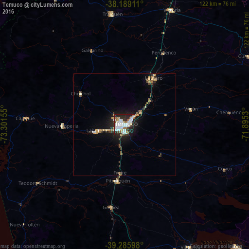

Analysis of Temuco night lights 2016
Square area 10x10 km:
 20.07%
90-99
19.56%80-89
4.76%70-79
2.55%60-69
5.44%50-59
4.76%40-49
3.4%30-39
4.25%20-29
23.81%10-19
10.71%0-9
0.68%Square area 50x50 km:
0.88%90-99
0.94%80-89
0.66%70-79
0.56%60-69
0.67%50-59
0.6%40-49
0.56%30-39
0.77%20-29
1.66%10-19
3.87%0-9
88.84%Clear (daylight) street map image can be seen on geolist.org.
Map coordinates:
38° 11' 20.8" South, 73° 18' 5.6" West
38° 44' 22.7" South, 72° 35' 54.3" West
39° 17' 9.5" South, 71° 53' 43.1" West
Some cities around Temuco sort by population:
• Victoria
60.9 km =37.8 mi,  22°
22°
• Lautaro
27.2 km =16.9 mi,  31°
31°
• Nueva Imperial
30.5 km =19 mi,  268°
268°
• Traiguén
54.8 km =34.1 mi,  353°
353°
• Pitrufquén
27.6 km =17.1 mi,  186°
186°
• Carahue
48.9 km =30.4 mi, 273°
• Vilcún
33.3 km =20.7 mi,  76°
76°
• Freire
23.8 km =14.8 mi, 185°
3870011 (p: 238,129)
Sources (retrieved 2019-11-25):
» NASA, Earths city lights 1995
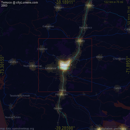
» NASA city lights 2003
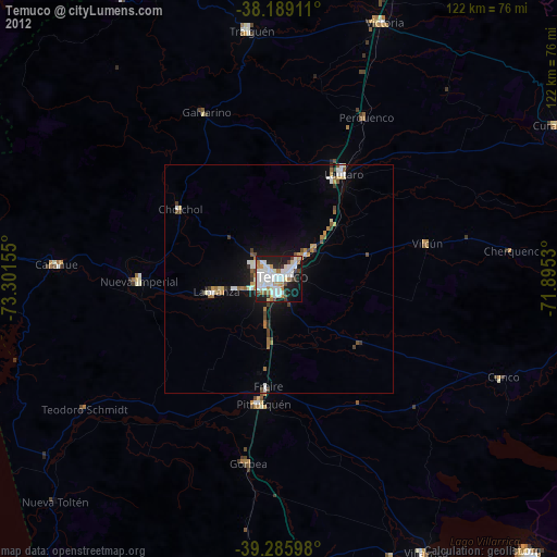
» Earth at Night: Flat Maps 2012, 2016