Lautaro night lights from space
Night Light of Lautaro (Araucanía) from space (Chile) Src. Average luminocity for 10x10km area is 14.8425% and for 50x50km: 3.8754%.

Analysis of Lautaro night lights 2016
Square area 10x10 km:
 0%
0%90-99
0.49%80-89
3.57%70-79
3.08%60-69
3.73%50-59
1.46%40-49
2.27%30-39
3.41%20-29
1.62%10-19
2.44%0-9
77.92%Square area 50x50 km:
0.65%90-99
0.66%80-89
0.47%70-79
0.38%60-69
0.58%50-59
0.32%40-49
0.28%30-39
0.56%20-29
1.1%10-19
2.42%0-9
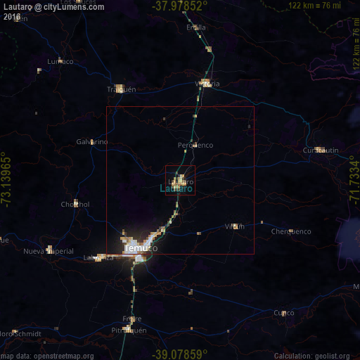
92.57%Clear (daylight) street map image can be seen on geolist.org.
Map coordinates:
37° 58' 42.7" South, 73° 8' 22.7" West
38° 31' 50.4" South, 72° 26' 11.5" West
39° 4' 42.9" South, 71° 44' 0.2" West
Some cities around Lautaro sort by population:
• Temuco
27.2 km =16.9 mi,  211°
211°
• Victoria
34.3 km =21.3 mi,  15°
15°
• Nueva Imperial
50.6 km =31.4 mi,  241°
241°
• Collipulli
64.1 km =39.8 mi,  0°
0°
• Traiguén
37.3 km =23.2 mi,  326°
326°
• Pitrufquén
53.6 km =33.3 mi,  198°
198°
• Vilcún
23.9 km =14.9 mi,  129°
129°
• Freire
49.7 km =30.9 mi, 199°
3883615 (p: 21,579)
Sources (retrieved 2019-11-25):
» Earth at Night: Flat Maps 2012, 2016