Angol night lights from space
Night Light of Angol (Araucanía) from space (Chile) Src. Average luminocity for 10x10km area is 17.9031% and for 50x50km: 1.4626%.
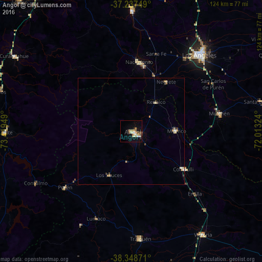
Analysis of Angol night lights 2016
Square area 10x10 km:
 1.53%
1.53%90-99
3.91%80-89
2.04%70-79
3.57%60-69
3.06%50-59
1.87%40-49
1.36%30-39
1.7%20-29
1.36%10-19
10.37%0-9
69.22%Square area 50x50 km:
0.11%90-99
0.22%80-89
0.3%70-79
0.28%60-69
0.18%50-59
0.12%40-49
0.13%30-39
0.15%20-29
0.19%10-19
0.45%0-9
97.87%Clear (daylight) street map image can be seen on geolist.org.
Map coordinates:
37° 14' 15" South, 73° 25' 10.2" West
37° 47' 42.7" South, 72° 42' 58.9" West
38° 20' 55.4" South, 72° 0' 47.7" West
Some cities around Angol sort by population:
• Los Ángeles
48.3 km =30 mi,  41°
41°
• Victoria
59.1 km =36.7 mi,  145°
145°
• Mulchén
42.6 km =26.5 mi,  78°
78°
• Nacimiento
32.8 km =20.4 mi,  6°
6°
• Cañete
59.7 km =37.1 mi,  269°
269°
• Laja
56.8 km =35.3 mi,  0°
0°
• Collipulli
30.4 km =18.9 mi,  125°
125°
• Traiguén
50.7 km =31.5 mi,  175°
175°
3899629 (p: 44,856)
Sources (retrieved 2019-11-25):
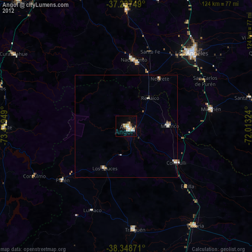
» Earth at Night: Flat Maps 2012, 2016