Traiguén night lights from space
Night Light of Traiguén (Araucanía) from space (Chile) Src. Average luminocity for 10x10km area is 6.6463% and for 50x50km: 0.4579%.
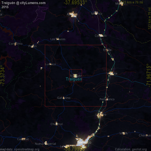
Analysis of Traiguén night lights 2016
Square area 10x10 km:
 0%
0%90-99
0.68%80-89
2.55%70-79
0.34%60-69
2.55%50-59
0%40-49
0.51%30-39
1.19%20-29
1.02%10-19
0%0-9
91.16%Square area 50x50 km:
0%90-99
0.03%80-89
0.1%70-79
0.09%60-69
0.15%50-59
0.02%40-49
0.05%30-39
0.16%20-29
0.06%10-19
0.02%0-9
99.32%Clear (daylight) street map image can be seen on geolist.org.
Map coordinates:
37° 41' 43.2" South, 73° 22' 24.2" West
38° 14' 58.6" South, 72° 40' 13" West
38° 47' 58.8" South, 71° 58' 1.7" West
Some cities around Traiguén sort by population:
• Temuco
54.8 km =34.1 mi,  173°
173°
• Angol
50.7 km =31.5 mi,  355°
355°
• Victoria
29.5 km =18.3 mi,  86°
86°
• Lautaro
37.3 km =23.2 mi,  146°
146°
• Nueva Imperial
60.2 km =37.4 mi,  203°
203°
• Collipulli
38.8 km =24.1 mi,  32°
32°
• Carahue
66.8 km =41.5 mi,  219°
219°
• Vilcún
60.6 km =37.7 mi,  140°
140°
3869381 (p: 14,481)
Sources (retrieved 2019-11-25):
» Earth at Night: Flat Maps 2012, 2016