Taltal night lights from space
Night Light of Taltal (Antofagasta) from space (Chile) Src. Average luminocity for 10x10km area is 12.8492% and for 50x50km: 0.5514%.
Analysis of Taltal night lights 2016
Square area 10x10 km:
 1.59%
1.59%90-99
1.59%80-89
0.79%70-79
1.19%60-69
4.17%50-59
1.79%40-49
1.59%30-39
2.38%20-29
2.38%10-19
0%0-9
82.54%Square area 50x50 km:
0.06%90-99
0.06%80-89
0.03%70-79
0.05%60-69
0.19%50-59
0.07%40-49
0.06%30-39
0.09%20-29
0.09%10-19
0%0-9
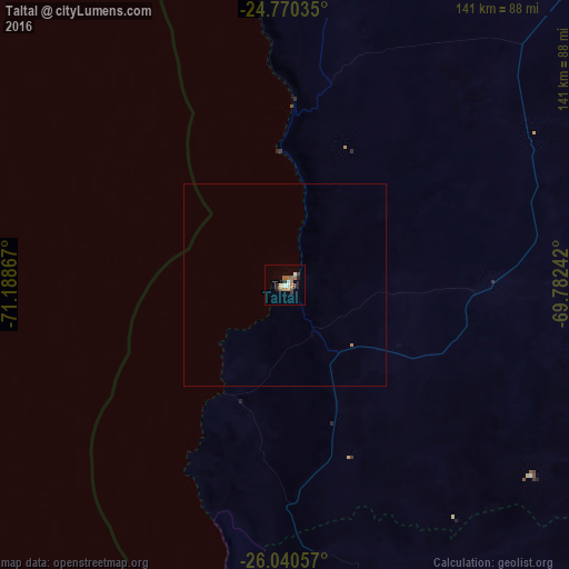
99.28%Clear (daylight) street map image can be seen on geolist.org.
Map coordinates:
24° 46' 13.3" South, 71° 11' 19.2" West
25° 24' 25.7" South, 70° 29' 7.9" West
26° 2' 26.1" South, 69° 46' 56.7" West
Some cities around Taltal sort by population:
• Antofagasta
195.3 km =121.4 mi,  2°
2°
• Calama
364.4 km =226.4 mi,  25°
25°
• Copiapó
218.4 km =135.7 mi,  175°
175°
• Vallenar
353.4 km =219.6 mi, 184°
• Tocopilla
369.8 km =229.8 mi, 4°
• Diego de Almagro
115.2 km =71.6 mi,  157°
157°
• Tinogasta, AR
413.9 km =257.2 mi,  135°
135°
• Fiambalá, AR
380.4 km =236.4 mi,  131°
131°
3870243 (p: 10,018)
Sources (retrieved 2019-11-25):
» Earth at Night: Flat Maps 2012, 2016