Antofagasta night lights from space
Night Light of Antofagasta from space (Chile) Src. Average luminocity for 10x10km area is 44.2758% and for 50x50km: 7.0178%.
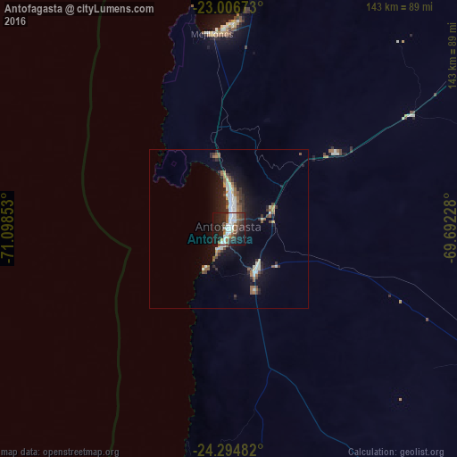
Analysis of Antofagasta night lights 2016
Square area 10x10 km:
 10.12%
90-99
10.12%80-89
1.98%70-79
0.99%60-69
5.36%50-59
8.73%40-49
4.96%30-39
8.33%20-29
16.67%10-19
30.75%0-9
1.98%Square area 50x50 km:
1.01%90-99
1.23%80-89
0.46%70-79
0.29%60-69
1.03%50-59
1.14%40-49
0.86%30-39
1.29%20-29
1.92%10-19
5.73%0-9
85.05%Clear (daylight) street map image can be seen on geolist.org.
Map coordinates:
23° 0' 24.2" South, 71° 5' 54.7" West
23° 39' 8.5" South, 70° 23' 43.4" West
24° 17' 41.4" South, 69° 41' 32.2" West
Some cities around Antofagasta sort by population:
• Iquique
383.2 km =238.1 mi,  3°
3°
• Calama
200.9 km =124.8 mi,  48°
48°
• Copiapó
413.1 km =256.7 mi,  179°
179°
• Tocopilla
174.7 km =108.6 mi,  6°
6°
• Diego de Almagro
303.8 km =188.8 mi,  173°
173°
• Taltal
195.3 km =121.4 mi, 182°
• Abra Pampa, AR
491.2 km =305.2 mi,  77°
77°
• Tilcara, AR
509.5 km =316.6 mi,  89°
89°
3899539 (p: 309,832)
Sources (retrieved 2019-11-25):
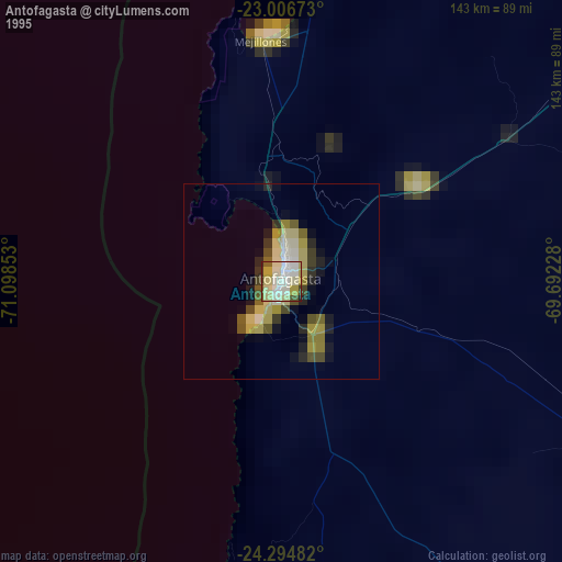
» NASA, Earths city lights 1995
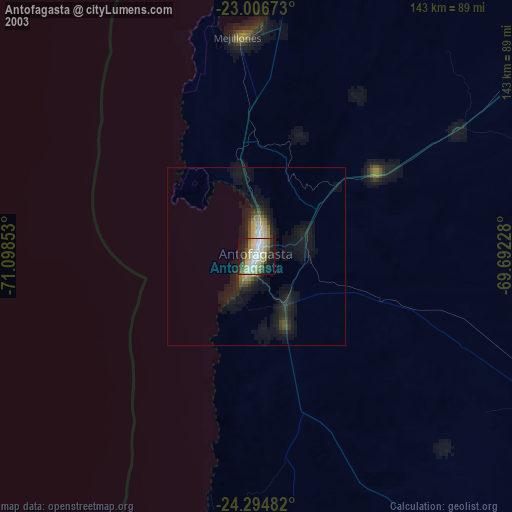
» NASA city lights 2003
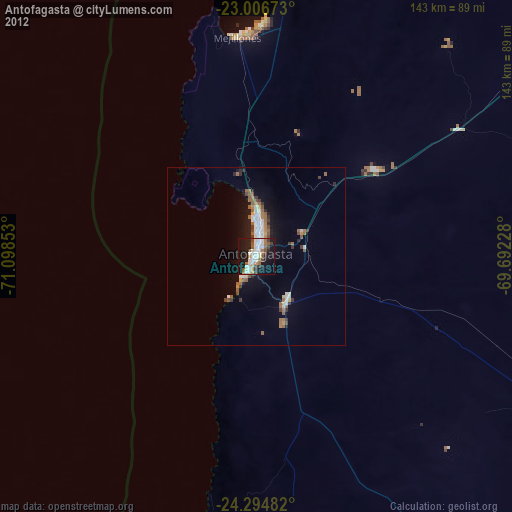
» Earth at Night: Flat Maps 2012, 2016