Vallenar night lights from space
Night Light of Vallenar (Atacama) from space (Chile) Src. Average luminocity for 10x10km area is 32.358% and for 50x50km: 2.0282%.
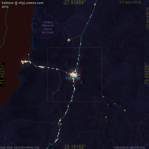
Analysis of Vallenar night lights 2016
Square area 10x10 km:
 3.03%
3.03%90-99
3.22%80-89
13.64%70-79
1.52%60-69
1.7%50-59
4.73%40-49
2.08%30-39
5.3%20-29
2.27%10-19
38.45%0-9
24.05%Square area 50x50 km:
0.12%90-99
0.13%80-89
0.63%70-79
0.19%60-69
0.19%50-59
0.26%40-49
0.31%30-39
0.33%20-29
0.2%10-19
1.76%0-9
95.86%Clear (daylight) street map image can be seen on geolist.org.
Map coordinates:
27° 57' 24.8" South, 71° 27' 45" West
28° 34' 34.2" South, 70° 45' 33.8" West
29° 11' 30.6" South, 70° 3' 22.5" West
Some cities around Vallenar sort by population:
• Coquimbo
163.1 km =101.3 mi,  200°
200°
• La Serena
155.1 km =96.4 mi, 197°
• Copiapó
140.9 km =87.6 mi,  17°
17°
• Ovalle
229.1 km =142.4 mi,  190°
190°
• San José de Jáchal, AR
268.8 km =167 mi,  133°
133°
• Diego de Almagro
255.4 km =158.7 mi, 15°
• Monte Patria
236.4 km =146.9 mi,  184°
184°
• Vicuña
162.3 km =100.8 mi, 178°
3868633 (p: 44,895)
Sources (retrieved 2019-11-25):
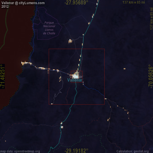
» Earth at Night: Flat Maps 2012, 2016