Copiapó night lights from space
Night Light of Copiapó (Atacama) from space (Chile) Src. Average luminocity for 10x10km area is 52.2879% and for 50x50km: 5.6308%.
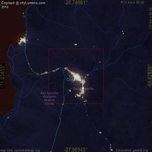

Analysis of Copiapó night lights 2016
Square area 10x10 km:
 11.93%
90-99
17.05%80-89
5.68%70-79
4.36%60-69
4.17%50-59
3.03%40-49
4.36%30-39
5.3%20-29
16.1%10-19
25.76%0-9
2.27%Square area 50x50 km:
0.59%90-99
1.26%80-89
0.69%70-79
0.47%60-69
0.49%50-59
0.44%40-49
0.7%30-39
0.88%20-29
2.05%10-19
5.28%0-9
87.15%Clear (daylight) street map image can be seen on geolist.org.
Map coordinates:
26° 44' 26.2" South, 71° 2' 4.3" West
27° 22' 0.4" South, 70° 19' 53" West
27° 59' 22" South, 69° 37' 41.8" West
Some cities around Copiapó sort by population:
• Coquimbo
303.9 km =188.8 mi,  198°
198°
• La Serena
296 km =183.9 mi, 197°
• Vallenar
140.9 km =87.6 mi, 197°
• Diego de Almagro
114.7 km =71.3 mi,  14°
14°
• Tinogasta, AR
283.1 km =175.9 mi,  105°
105°
• Vicuña
299 km =185.8 mi,  187°
187°
• Taltal
218.4 km =135.7 mi,  355°
355°
• Fiambalá, AR
269.6 km =167.5 mi,  97°
97°
3893656 (p: 129,280)
Sources (retrieved 2019-11-25):
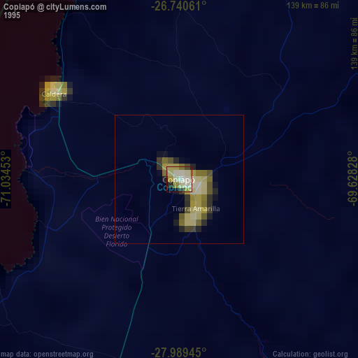
» NASA, Earths city lights 1995
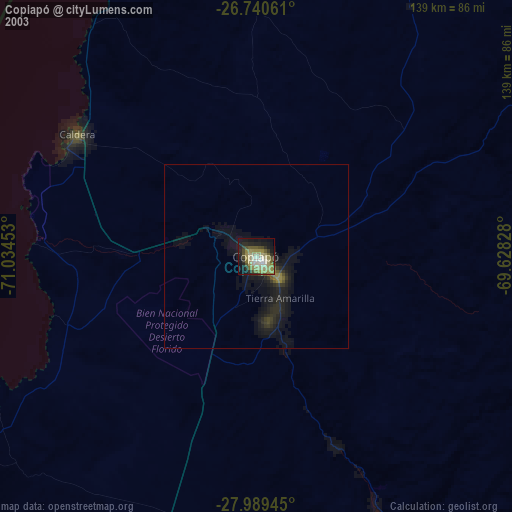
» NASA city lights 2003
» Earth at Night: Flat Maps 2012, 2016