Calama night lights from space
Night Light of Calama (Antofagasta) from space (Chile) Src. Average luminocity for 10x10km area is 56.7064% and for 50x50km: 7.4351%.
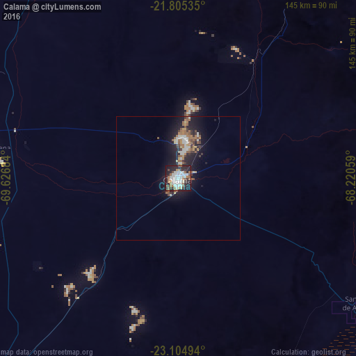
Analysis of Calama night lights 2016
Square area 10x10 km:
 17.61%
90-99
14.02%80-89
2.46%70-79
2.08%60-69
10.23%50-59
6.25%40-49
3.98%30-39
6.25%20-29
24.43%10-19
12.5%0-9
0.19%Square area 50x50 km:
1.26%90-99
1.32%80-89
0.32%70-79
0.59%60-69
1.53%50-59
1.12%40-49
0.66%30-39
0.95%20-29
2.83%10-19
6.16%0-9
83.25%Clear (daylight) street map image can be seen on geolist.org.
Map coordinates:
21° 48' 19.3" South, 69° 37' 36.6" West
22° 27' 24" South, 68° 55' 25.4" West
23° 6' 17.8" South, 68° 13' 14.1" West
Some cities around Calama sort by population:
• Antofagasta
200.9 km =124.8 mi,  228°
228°
• Iquique
279.9 km =173.9 mi,  333°
333°
• Villazón, BO
345 km =214.4 mi,  83°
83°
• Tocopilla
137.2 km =85.3 mi,  287°
287°
• La Quiaca, AR
344.9 km =214.3 mi, 83°
• Colchani, BO
316.2 km =196.5 mi,  40°
40°
• Uyuni, BO
310.6 km =193 mi, 44°
• Abra Pampa, AR
332.5 km =206.6 mi,  95°
95°
3897347 (p: 143,084)
Sources (retrieved 2019-11-25):
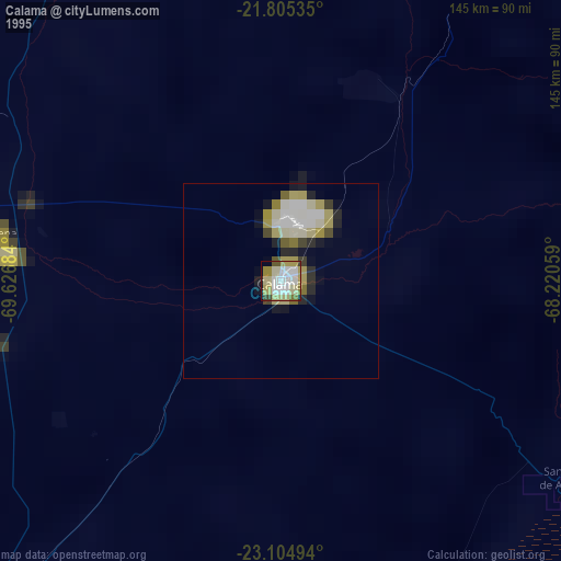
» NASA, Earths city lights 1995
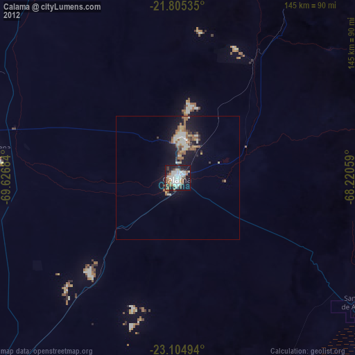
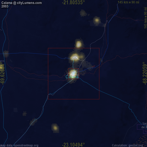
» NASA city lights 2003
» Earth at Night: Flat Maps 2012, 2016