Fiambalá night lights from space
Night Light of Fiambalá (Catamarca) from space (Argentina) Src. Average luminocity for 10x10km area is 16.8651% and for 50x50km: 1.0158%.
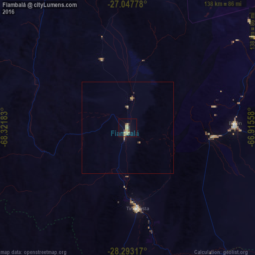
Analysis of Fiambalá night lights 2016
Square area 10x10 km:
 0%
0%90-99
0.79%80-89
8.73%70-79
3.17%60-69
0.79%50-59
0.79%40-49
1.19%30-39
1.59%20-29
2.78%10-19
2.98%0-9
77.18%Square area 50x50 km:
0%90-99
0.03%80-89
0.39%70-79
0.25%60-69
0.06%50-59
0.05%40-49
0.13%30-39
0.19%20-29
0.14%10-19
0.14%0-9
98.62%Clear (daylight) street map image can be seen on geolist.org.
Map coordinates:
27° 2' 52" South, 68° 19' 18.6" West
27° 40' 20.1" South, 67° 37' 7.3" West
28° 17' 35.4" South, 66° 54' 56.1" West
Some cities around Fiambalá sort by population:
• Chilecito
166.1 km =103.2 mi,  175°
175°
• Aguilares
199.4 km =123.9 mi,  82°
82°
• Tinogasta
43.8 km =27.2 mi,  173°
173°
• Andalgalá
128.7 km =80 mi,  85°
85°
• Arauco
129.5 km =80.5 mi,  141°
141°
• Huillapima
198.8 km =123.5 mi,  126°
126°
• La Cocha
200.3 km =124.5 mi, 93°
• Capayán
196.7 km =122.2 mi, 128°
3855588 (p: 8,061)
Sources (retrieved 2019-11-25):
» Earth at Night: Flat Maps 2012, 2016