San Vicente night lights from space
Night Light of San Vicente (O'Higgins Region) from space (Chile) Src. Average luminocity for 10x10km area is 12.5105% and for 50x50km: 7.4284%.
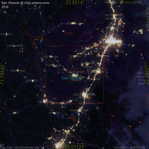
Analysis of San Vicente night lights 2016
Square area 10x10 km:
 0.87%
0.87%90-99
1.92%80-89
1.4%70-79
0.7%60-69
3.32%50-59
1.4%40-49
2.97%30-39
2.1%20-29
0.7%10-19
1.05%0-9
83.57%Square area 50x50 km:
0.27%90-99
0.39%80-89
1.1%70-79
0.69%60-69
1.33%50-59
1.5%40-49
1.36%30-39
1.79%20-29
1.53%10-19
5.96%0-9
84.08%Clear (daylight) street map image can be seen on geolist.org.
Map coordinates:
33° 51' 5" South, 71° 47' 11.3" West
34° 25' 60" South, 71° 4' 60" West
35° 0' 40.5" South, 70° 22' 48.8" West
Some cities around San Vicente sort by population:
• Rancagua
42.7 km =26.5 mi,  46°
46°
• Rengo
20.9 km =13 mi,  81°
81°
• Santa Cruz
34.5 km =21.4 mi,  228°
228°
• Machalí
48.8 km =30.3 mi, 54°
• Graneros
52.1 km =32.4 mi,  38°
38°
• Chimbarongo
31.3 km =19.4 mi,  173°
173°
• Rauco
58.8 km =36.5 mi,  201°
201°
• Teno
49.1 km =30.5 mi,  188°
188°
3871286 (p: 22,572)
Sources (retrieved 2019-11-25):
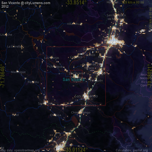
» Earth at Night: Flat Maps 2012, 2016