Dalcahue night lights from space
Night Light of Dalcahue (Los Lagos Region) from space (Chile) Src. Average luminocity for 10x10km area is 2.7063% and for 50x50km: 0.7619%.
Analysis of Dalcahue night lights 2016
Square area 10x10 km:
 0%
0%90-99
0.63%80-89
0%70-79
0.63%60-69
0%50-59
0.63%40-49
0.63%30-39
0.63%20-29
0.95%10-19
0.95%0-9
94.92%Square area 50x50 km:
0.06%90-99
0.13%80-89
0.06%70-79
0.12%60-69
0.1%50-59
0.12%40-49
0.12%30-39
0.14%20-29
0.13%10-19
0.1%0-9
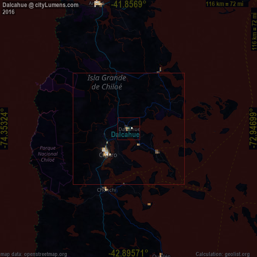
98.93%Clear (daylight) street map image can be seen on geolist.org.
Map coordinates:
41° 51' 24.8" South, 74° 21' 11.7" West
42° 22' 42.4" South, 73° 39' 0.4" West
42° 53' 44.6" South, 72° 56' 49.2" West
Some cities around Dalcahue sort by population:
• Puerto Montt
116.8 km =72.6 mi,  30°
30°
• Castro
14.5 km =9 mi,  224°
224°
• Ancud
58.1 km =36.1 mi,  346°
346°
• Puerto Varas
130 km =80.8 mi, 25°
• Quellón
82.3 km =51.1 mi,  178°
178°
• Purranque
168 km =104.4 mi,  14°
14°
• Chonchi
29.1 km =18.1 mi,  200°
200°
• Calbuco
79.8 km =49.6 mi, 32°
3892760 (p: 13,076)
Sources (retrieved 2019-11-25):
» Earth at Night: Flat Maps 2012, 2016