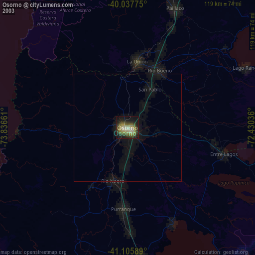
Osorno night lights from space
Night Light of Osorno (Los Lagos Region) from space (Chile) Src. Average luminocity for 10x10km area is 43.8019% and for 50x50km: 2.4328%.
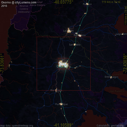

Analysis of Osorno night lights 2016
Square area 10x10 km:
 7.47%
7.47%90-99
15.26%80-89
4.38%70-79
2.11%60-69
5.84%50-59
3.25%40-49
2.76%30-39
3.25%20-29
11.85%10-19
36.85%0-9
6.98%Square area 50x50 km:
0.3%90-99
0.64%80-89
0.2%70-79
0.14%60-69
0.27%50-59
0.27%40-49
0.22%30-39
0.21%20-29
0.64%10-19
2.25%0-9
94.86%Clear (daylight) street map image can be seen on geolist.org.
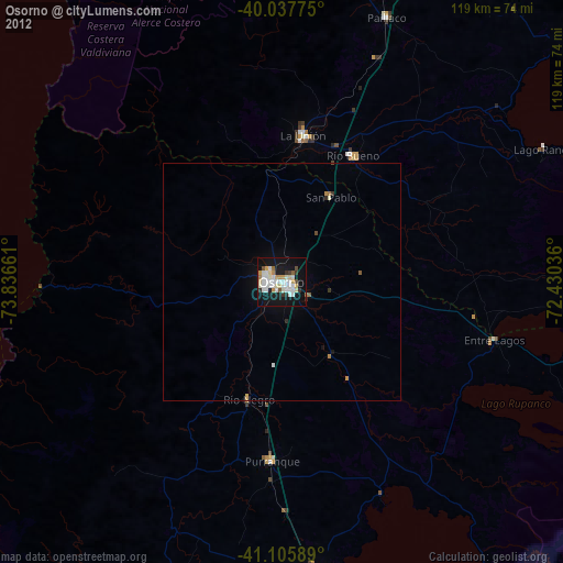
Map coordinates:
40° 2' 15.9" South, 73° 50' 11.8" West
40° 34' 26.2" South, 73° 8' 0.5" West
41° 6' 21.2" South, 72° 25' 49.3" West
Some cities around Osorno sort by population:
• Puerto Montt
100.8 km =62.6 mi,  170°
170°
• Valdivia
85 km =52.8 mi,  353°
353°
• Las Animas
85.4 km =53.1 mi,  355°
355°
• La Unión
31.5 km =19.6 mi,  7°
7°
• Puerto Varas
83.8 km =52.1 mi, 171°
• Panguipulli
123.9 km =77 mi,  33°
33°
• Río Bueno
30.5 km =19 mi, 29°
• Purranque
37.8 km =23.5 mi,  183°
183°
3877949 (p: 135,773)
Sources (retrieved 2019-11-25):
» NASA, Earths city lights 1995
» NASA city lights 2003
» Earth at Night: Flat Maps 2012, 2016