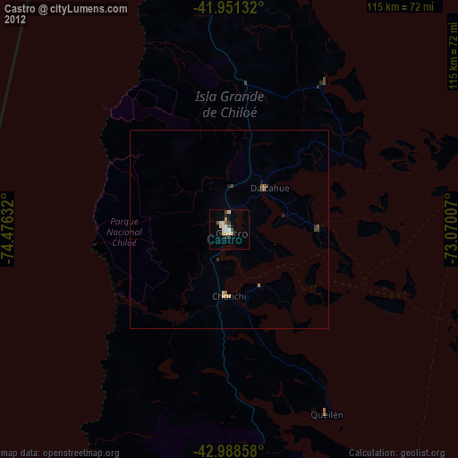
Castro night lights from space
Night Light of Castro (Los Lagos Region) from space (Chile) Src. Average luminocity for 10x10km area is 12.9698% and for 50x50km: 0.8733%.
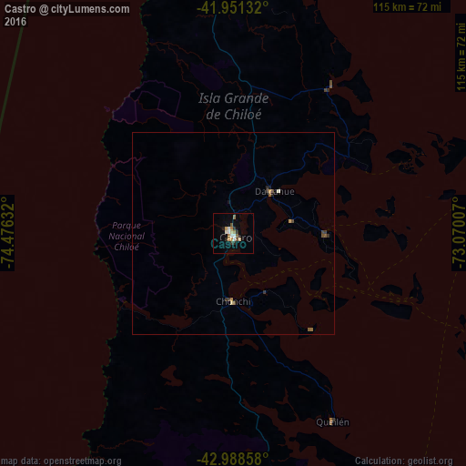
Analysis of Castro night lights 2016
Square area 10x10 km:
 1.43%
1.43%90-99
2.54%80-89
1.27%70-79
1.75%60-69
2.54%50-59
1.43%40-49
0.48%30-39
1.27%20-29
2.38%10-19
0.95%0-9
83.97%Square area 50x50 km:
0.06%90-99
0.13%80-89
0.08%70-79
0.14%60-69
0.13%50-59
0.16%40-49
0.13%30-39
0.17%20-29
0.16%10-19
0.1%0-9
98.74%Clear (daylight) street map image can be seen on geolist.org.
Map coordinates:
41° 57' 4.8" South, 74° 28' 34.8" West
42° 28' 19.6" South, 73° 46' 23.5" West
42° 59' 18.9" South, 73° 4' 12.3" West
Some cities around Castro sort by population:
• Puerto Montt
131 km =81.4 mi,  31°
31°
• Ancud
67 km =41.6 mi,  356°
356°
• Puerto Varas
143.8 km =89.4 mi, 26°
• Quellón
73 km =45.4 mi,  169°
169°
• Purranque
180.7 km =112.3 mi,  16°
16°
• Dalcahue
14.5 km =9 mi,  44°
44°
• Chonchi
16.9 km =10.5 mi,  180°
180°
• Calbuco
94 km =58.4 mi, 34°
3896218 (p: 29,926)
Sources (retrieved 2019-11-25):
» Earth at Night: Flat Maps 2012, 2016