Chonchi night lights from space
Night Light of Chonchi (Los Lagos Region) from space (Chile) Src. Average luminocity for 10x10km area is 1.7727% and for 50x50km: 0.7594%.
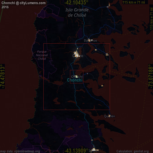
Analysis of Chonchi night lights 2016
Square area 10x10 km:
 0%
0%90-99
0%80-89
0.61%70-79
0.61%60-69
0%50-59
0.45%40-49
0.45%30-39
0.3%20-29
0.61%10-19
0%0-9
96.97%Square area 50x50 km:
0.06%90-99
0.1%80-89
0.08%70-79
0.11%60-69
0.13%50-59
0.13%40-49
0.11%30-39
0.14%20-29
0.12%10-19
0.06%0-9
98.95%Clear (daylight) street map image can be seen on geolist.org.
Map coordinates:
42° 6' 15.7" South, 74° 28' 41.3" West
42° 37' 25.9" South, 73° 46' 30" West
43° 8' 20.7" South, 73° 4' 18.8" West
Some cities around Chonchi sort by population:
• Puerto Montt
145.6 km =90.5 mi,  28°
28°
• Castro
16.9 km =10.5 mi,  0°
0°
• Ancud
83.8 km =52.1 mi,  357°
357°
• Puerto Varas
159 km =98.8 mi,  24°
24°
• Quellón
56.5 km =35.1 mi,  166°
166°
• Dalcahue
29.1 km =18.1 mi, 20°
• Calbuco
108.4 km =67.4 mi, 29°
• Trevelin, AR
195.3 km =121.4 mi,  105°
105°
3894871 (p: 12,572)
Sources (retrieved 2019-11-25):
» Earth at Night: Flat Maps 2012, 2016