Panguipulli night lights from space
Night Light of Panguipulli (Los Ríos Region) from space (Chile) Src. Average luminocity for 10x10km area is 3.8458% and for 50x50km: 0.3271%.
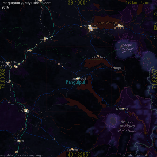
Analysis of Panguipulli night lights 2016
Square area 10x10 km:
 0.16%
0.16%90-99
0.49%80-89
0.65%70-79
0.65%60-69
0.65%50-59
0%40-49
0.65%30-39
1.79%20-29
1.46%10-19
0%0-9
93.51%Square area 50x50 km:
0.01%90-99
0.02%80-89
0.03%70-79
0.1%60-69
0.06%50-59
0.08%40-49
0.06%30-39
0.12%20-29
0.09%10-19
0%0-9
99.44%Clear (daylight) street map image can be seen on geolist.org.
Map coordinates:
39° 6' 0" South, 73° 2' 9" West
39° 38' 36.8" South, 72° 19' 57.7" West
40° 10' 58.3" South, 71° 37' 46.5" West
Some cities around Panguipulli sort by population:
• Valdivia
80.4 km =50 mi,  256°
256°
• Villarrica
40.8 km =25.4 mi,  12°
12°
• Las Animas
77.9 km =48.4 mi, 256°
• Pucón
51.7 km =32.1 mi,  38°
38°
• Loncoche
40 km =24.9 mi,  320°
320°
• Río Bueno
93.4 km =58 mi,  214°
214°
• Pitrufquén
77.6 km =48.2 mi,  340°
340°
• Freire
80.9 km =50.3 mi, 341°
3877348 (p: 16,312)
Sources (retrieved 2019-11-25):
» Earth at Night: Flat Maps 2012, 2016