Valdivia night lights from space
Night Light of Valdivia (Los Ríos Region) from space (Chile) Src. Average luminocity for 10x10km area is 40.7993% and for 50x50km: 2.225%.
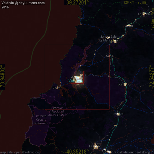

Analysis of Valdivia night lights 2016
Square area 10x10 km:
 9.18%
9.18%90-99
11.22%80-89
4.42%70-79
5.1%60-69
3.74%50-59
5.78%40-49
0%30-39
2.04%20-29
8.16%10-19
27.04%0-9
23.3%Square area 50x50 km:
0.36%90-99
0.44%80-89
0.25%70-79
0.2%60-69
0.23%50-59
0.28%40-49
0.07%30-39
0.29%20-29
0.46%10-19
2.2%0-9
95.21%Clear (daylight) street map image can be seen on geolist.org.
Map coordinates:
39° 16' 19.2" South, 73° 56' 56.5" West
39° 48' 51.2" South, 73° 14' 45.2" West
40° 21' 7.8" South, 72° 32' 34" West
Some cities around Valdivia sort by population:
• Osorno
85 km =52.8 mi,  173°
173°
• Villarrica
105.2 km =65.4 mi,  56°
56°
• Las Animas
2.4 km =1.5 mi,  75°
75°
• La Unión
55.1 km =34.2 mi, 165°
• Panguipulli
80.4 km =50 mi, 76°
• Loncoche
72.4 km =45 mi,  46°
46°
• Río Bueno
62.9 km =39.1 mi,  156°
156°
• Pitrufquén
105.9 km =65.8 mi,  29°
29°
3868707 (p: 133,419)
Sources (retrieved 2019-11-25):
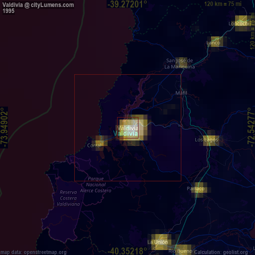
» NASA, Earths city lights 1995
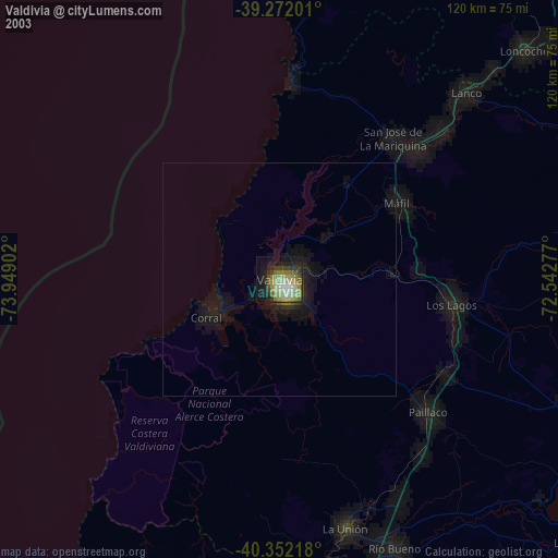
» NASA city lights 2003
» Earth at Night: Flat Maps 2012, 2016