Coquimbo night lights from space
Night Light of Coquimbo (Coquimbo Region) from space (Chile) Src. Average luminocity for 10x10km area is 45.8958% and for 50x50km: 7.8365%.
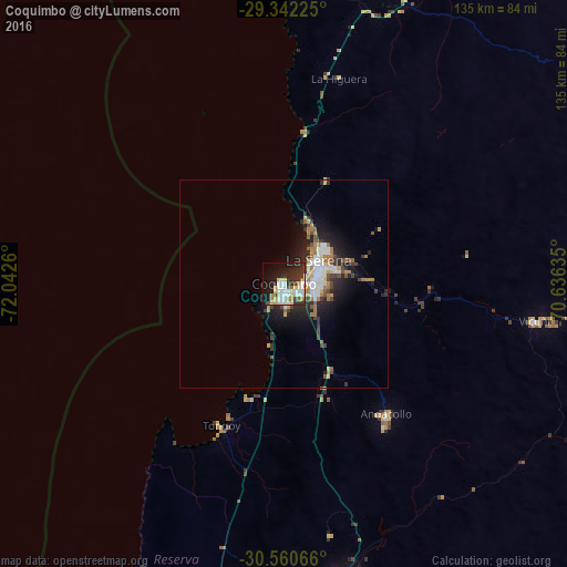
Analysis of Coquimbo night lights 2016
Square area 10x10 km:
 10.98%
90-99
10.04%80-89
7.77%70-79
4.17%60-69
4.73%50-59
2.08%40-49
1.33%30-39
9.28%20-29
14.39%10-19
23.86%0-9
11.36%Square area 50x50 km:
1.46%90-99
1.31%80-89
0.7%70-79
0.77%60-69
1.42%50-59
0.63%40-49
0.93%30-39
1.25%20-29
2.59%10-19
4.85%0-9
84.09%Clear (daylight) street map image can be seen on geolist.org.
Map coordinates:
29° 20' 32.1" South, 72° 2' 33.4" West
29° 57' 12" South, 71° 20' 22.1" West
30° 33' 38.4" South, 70° 38' 10.9" West
Some cities around Coquimbo sort by population:
• La Serena
10.3 km =6.4 mi,  58°
58°
• Ovalle
73.3 km =45.5 mi,  169°
169°
• Vallenar
163.1 km =101.3 mi,  20°
20°
• Illapel
187.5 km =116.5 mi,  175°
175°
• Monte Patria
90.2 km =56 mi,  156°
156°
• Vicuña
61 km =37.9 mi,  98°
98°
• Salamanca
206.2 km =128.1 mi, 169°
• Calingasta, AR
239.3 km =148.7 mi,  129°
129°
3893629 (p: 161,317)
Sources (retrieved 2019-11-25):
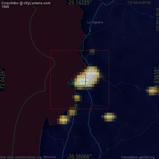
» NASA, Earths city lights 1995
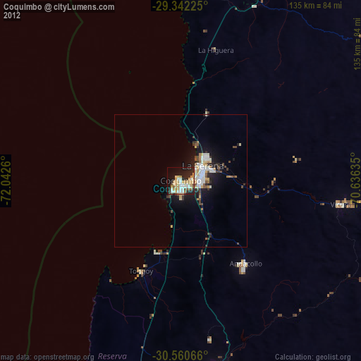
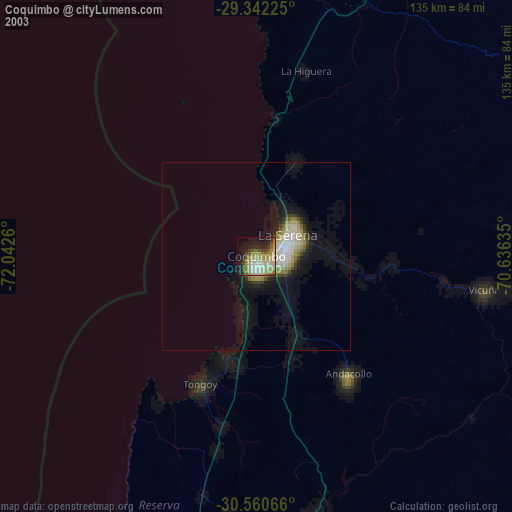
» NASA city lights 2003
» Earth at Night: Flat Maps 2012, 2016