Sierre night lights from space
Night Light of Sierre (Valais) from space (Switzerland) Src. Average luminocity for 10x10km area is 27.6176% and for 50x50km: 4.1048%.
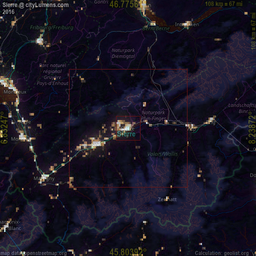
Analysis of Sierre night lights 2016
Square area 10x10 km:
 3.27%
3.27%90-99
5.8%80-89
2.38%70-79
2.83%60-69
2.23%50-59
5.8%40-49
5.06%30-39
1.79%20-29
8.93%10-19
25.15%0-9
36.76%Square area 50x50 km:
0.29%90-99
0.55%80-89
0.37%70-79
0.36%60-69
0.58%50-59
0.84%40-49
0.72%30-39
0.6%20-29
0.94%10-19
4.18%0-9
90.58%Clear (daylight) street map image can be seen on geolist.org.
Map coordinates:
46° 46' 32.2" North, 6° 49' 56.9" East
46° 17' 30.9" North, 7° 32' 8.1" East
45° 48' 14.1" North, 8° 14' 19.4" East
Some cities around Sierre sort by population:
• Sitten
15.6 km =9.7 mi,  242°
242°
• Gstaad
27.7 km =17.2 mi,  316°
316°
• Conthey
19.4 km =12.1 mi,  247°
247°
• Bagnes
33.8 km =21 mi,  226°
226°
• Saanen
30.5 km =19 mi, 316°
• Visp
26.6 km =16.5 mi,  89°
89°
• Savièse
15.3 km =9.5 mi, 252°
• Basse-Nendaz
20.6 km =12.8 mi, 236°
2658606 (p: 15,752)
Sources (retrieved 2019-11-25):
» Earth at Night: Flat Maps 2012, 2016