Naters night lights from space
Night Light of Naters (Valais) from space (Switzerland) Src. Average luminocity for 10x10km area is 6.1116% and for 50x50km: 1.3528%.
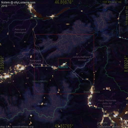
Analysis of Naters night lights 2016
Square area 10x10 km:
 0.89%
0.89%90-99
0.74%80-89
0.45%70-79
0.3%60-69
0.6%50-59
1.19%40-49
2.53%30-39
1.04%20-29
0.6%10-19
0.6%0-9
91.07%Square area 50x50 km:
0.06%90-99
0.23%80-89
0.15%70-79
0.13%60-69
0.16%50-59
0.23%40-49
0.37%30-39
0.38%20-29
0.21%10-19
0.46%0-9
97.63%Clear (daylight) street map image can be seen on geolist.org.
Map coordinates:
46° 48' 31.5" North, 7° 17' 9.6" East
46° 19' 31.3" North, 7° 59' 20.8" East
45° 50' 15.5" North, 8° 41' 32.1" East
Some cities around Naters sort by population:
• Domodossola, IT
33 km =20.5 mi,  134°
134°
• Sierre
35 km =21.7 mi,  263°
263°
• Frutigen
39 km =24.2 mi,  318°
318°
• Villadossola, IT
35.5 km =22.1 mi,  142°
142°
• Zermatt
38.7 km =24 mi,  208°
208°
• Visp
9 km =5.6 mi,  246°
246°
• Unterseen
41.5 km =25.8 mi,  344°
344°
• Interlaken
41 km =25.5 mi,  346°
346°
2659510 (p: 7,552)
Sources (retrieved 2019-11-25):
» Earth at Night: Flat Maps 2012, 2016