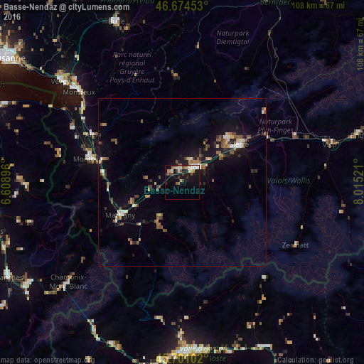
Basse-Nendaz night lights from space
Night Light of Basse-Nendaz (Valais) from space (Switzerland) Src. Average luminocity for 10x10km area is 19.7784% and for 50x50km: 5.4097%.
Analysis of Basse-Nendaz night lights 2016
Square area 10x10 km:
 2.13%
2.13%90-99
3.27%80-89
3.27%70-79
2.56%60-69
1.99%50-59
2.56%40-49
2.41%30-39
2.7%20-29
1.85%10-19
19.89%0-9
57.39%Square area 50x50 km:
0.36%90-99
0.74%80-89
0.46%70-79
0.53%60-69
0.7%50-59
1.09%40-49
0.97%30-39
0.81%20-29
1.01%10-19
4.68%0-9
88.64%Clear (daylight) street map image can be seen on geolist.org.
Map coordinates:
46° 40' 28.3" North, 6° 36' 32.3" East
46° 11' 23.7" North, 7° 18' 43.5" East
45° 42' 3.7" North, 8° 0' 54.8" East
Some cities around Basse-Nendaz sort by population:
• Sitten
5.3 km =3.3 mi,  38°
38°
• Sierre
20.6 km =12.8 mi,  56°
56°
• Martigny-Ville
20.9 km =13 mi,  242°
242°
• Conthey
3.8 km =2.4 mi,  349°
349°
• Bagnes
13.9 km =8.6 mi,  211°
211°
• Bex
24.2 km =15 mi,  285°
285°
• Fully
16.2 km =10.1 mi,  249°
249°
• Savièse
7.3 km =4.5 mi,  20°
20°
2661600 (p: 5,410)
Sources (retrieved 2019-11-25):
» Earth at Night: Flat Maps 2012, 2016