Savièse night lights from space
Night Light of Savièse (Valais) from space (Switzerland) Src. Average luminocity for 10x10km area is 30.4256% and for 50x50km: 5.1517%.
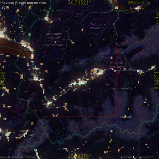
Analysis of Savièse night lights 2016
Square area 10x10 km:
100  3.27%
3.27%
90-99 5.95%
80-89 3.27%
70-79 3.27%
60-69 5.51%
50-59 4.17%
40-49 2.83%
30-39 4.17%
20-29 4.61%
10-19 37.65%
0-9 25.3%
3.27%90-99
5.95%80-89
3.27%70-79
3.27%60-69
5.51%50-59
4.17%40-49
2.83%30-39
4.17%20-29
4.61%10-19
37.65%0-9
25.3%Square area 50x50 km:
100 0.35%
90-99 0.69%
80-89 0.46%
70-79 0.51%
60-69 0.62%
50-59 1.08%
40-49 0.97%
30-39 0.68%
20-29 1.01%
10-19 4.5%
0-9 89.12%
0.35%90-99
0.69%80-89
0.46%70-79
0.51%60-69
0.62%50-59
1.08%40-49
0.97%30-39
0.68%20-29
1.01%10-19
4.5%0-9
89.12%Clear (daylight) street map image can be seen on geolist.org.
Map coordinates:
46° 44' 6.8" North, 6° 38' 32.9" East
46° 15' 4.1" North, 7° 20' 44.1" East
45° 45' 46" North, 8° 2' 55.4" East
Some cities around Savièse sort by population:
• Sitten
2.8 km =1.7 mi,  163°
163°
• Sierre
15.3 km =9.5 mi,  72°
72°
• Gstaad
25 km =15.5 mi,  349°
349°
• Conthey
4.5 km =2.8 mi,  227°
227°
• Bagnes
21.1 km =13.1 mi,  208°
208°
• Bex
25.8 km =16 mi,  269°
269°
• Fully
21.7 km =13.5 mi, 234°
• Basse-Nendaz
7.3 km =4.5 mi,  200°
200°
2658775 (p: 5,575)
Sources (retrieved 2019-11-25):
» Earth at Night: Flat Maps 2012, 2016