Sitten night lights from space
Night Light of Sitten (Valais) from space (Switzerland) Src. Average luminocity for 10x10km area is 31.4435% and for 50x50km: 5.0568%.
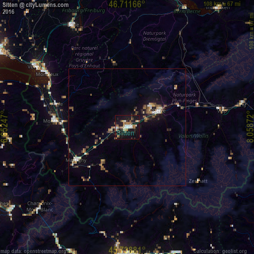
Analysis of Sitten night lights 2016
Square area 10x10 km:
 3.27%
3.27%90-99
5.95%80-89
3.72%70-79
3.13%60-69
5.65%50-59
3.87%40-49
2.23%30-39
4.61%20-29
4.91%10-19
47.02%0-9
15.63%Square area 50x50 km:
0.35%90-99
0.67%80-89
0.46%70-79
0.52%60-69
0.63%50-59
1.04%40-49
0.92%30-39
0.69%20-29
0.96%10-19
4.46%0-9
89.29%Clear (daylight) street map image can be seen on geolist.org.
Map coordinates:
46° 42' 42" North, 6° 39' 8.9" East
46° 13' 38.6" North, 7° 21' 20.1" East
45° 44' 19.7" North, 8° 3' 31.4" East
Some cities around Sitten sort by population:
• Sierre
15.6 km =9.7 mi,  62°
62°
• Martigny-Ville
25.8 km =16 mi,  237°
237°
• Conthey
4.1 km =2.5 mi,  264°
264°
• Bagnes
19.3 km =12 mi,  213°
213°
• Bex
26.7 km =16.6 mi,  275°
275°
• Fully
21 km =13 mi, 241°
• Savièse
2.8 km =1.7 mi,  343°
343°
• Basse-Nendaz
5.3 km =3.3 mi,  218°
218°
2658576 (p: 28,045)
Sources (retrieved 2019-11-25):
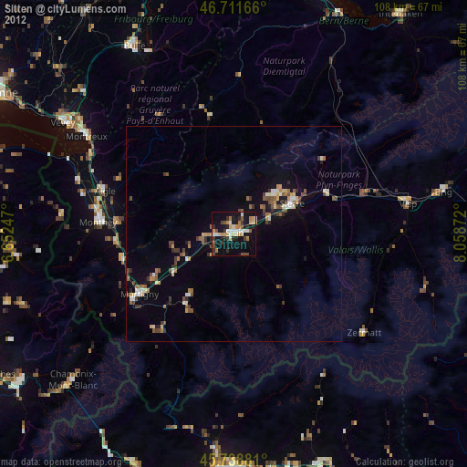
» Earth at Night: Flat Maps 2012, 2016