Stäfa night lights from space
Night Light of Stäfa (Zurich) from space (Switzerland) Src. Average luminocity for 10x10km area is 13.7009% and for 50x50km: 13.7584%.
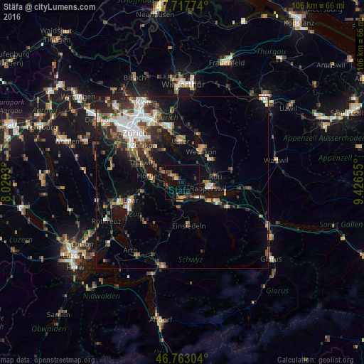
Analysis of Stäfa night lights 2016
Square area 10x10 km:
 0.74%
0.74%90-99
0.15%80-89
2.23%70-79
1.49%60-69
1.93%50-59
1.04%40-49
3.72%30-39
5.21%20-29
2.53%10-19
2.23%0-9
78.72%Square area 50x50 km:
2.4%90-99
2.23%80-89
0.98%70-79
1.34%60-69
1.84%50-59
1.79%40-49
2.38%30-39
2.37%20-29
3.39%10-19
7.37%0-9
73.92%Clear (daylight) street map image can be seen on geolist.org.
Map coordinates:
47° 43' 3.9" North, 8° 1' 13.1" East
47° 14' 33.1" North, 8° 43' 24.3" East
46° 45' 46.9" North, 9° 25' 35.6" East
Some cities around Stäfa sort by population:
• Rapperswil
7.7 km =4.8 mi,  104°
104°
• Jona
8.8 km =5.5 mi, 99°
• Freienbach
4.9 km =3 mi,  147°
147°
• Wädenswil
4.5 km =2.8 mi,  247°
247°
• Richterswil
4.5 km =2.8 mi,  206°
206°
• Männedorf
2.4 km =1.5 mi,  310°
310°
• Pfäffikon
6.2 km =3.9 mi,  138°
138°
• Wollerau
5.3 km =3.3 mi,  183°
183°
2658518 (p: 5,737)
Sources (retrieved 2019-11-25):
» Earth at Night: Flat Maps 2012, 2016