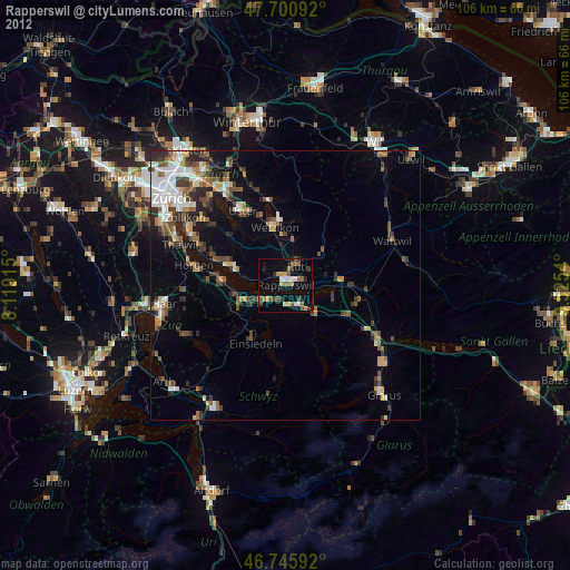
Rapperswil night lights from space
Night Light of Rapperswil (Saint Gallen) from space (Switzerland) Src. Average luminocity for 10x10km area is 21.5238% and for 50x50km: 10.7099%.
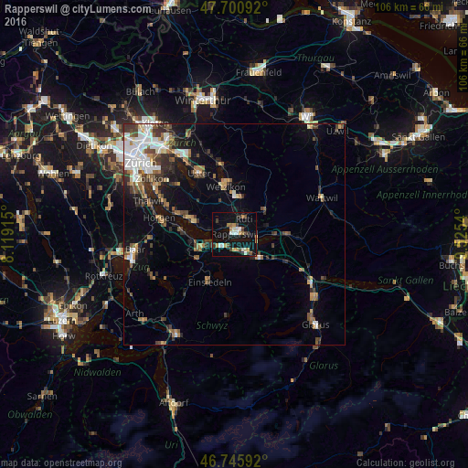
Analysis of Rapperswil night lights 2016
Square area 10x10 km:
 2.98%
2.98%90-99
2.53%80-89
1.34%70-79
4.61%60-69
2.53%50-59
1.64%40-49
3.57%30-39
2.83%20-29
1.79%10-19
24.4%0-9
51.79%Square area 50x50 km:
1.91%90-99
1.64%80-89
0.75%70-79
1.04%60-69
1.54%50-59
1.4%40-49
1.96%30-39
1.83%20-29
2.13%10-19
5.13%0-9
80.67%Clear (daylight) street map image can be seen on geolist.org.
Map coordinates:
47° 42' 3.3" North, 8° 7' 8.9" East
47° 13' 32.1" North, 8° 49' 20.2" East
46° 44' 45.3" North, 9° 31' 31.4" East
Some cities around Rapperswil sort by population:
• Jona
1.3 km =0.8 mi,  69°
69°
• Freienbach
5.3 km =3.3 mi,  244°
244°
• Rüti
4.2 km =2.6 mi,  36°
36°
• Eschenbach
7.7 km =4.8 mi,  78°
78°
• Pfäffikon
4.3 km =2.7 mi,  230°
230°
• Lachen
4.4 km =2.7 mi,  147°
147°
• Stäfa
7.7 km =4.8 mi,  284°
284°
• Altendorf
4.1 km =2.5 mi,  163°
163°
2659099 (p: 34,776)
Sources (retrieved 2019-11-25):
» Earth at Night: Flat Maps 2012, 2016