Richterswil night lights from space
Night Light of Richterswil (Zurich) from space (Switzerland) Src. Average luminocity for 10x10km area is 9.9003% and for 50x50km: 12.7368%.
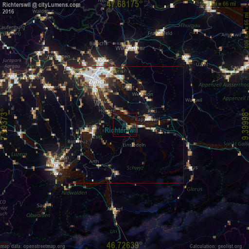
Analysis of Richterswil night lights 2016
Square area 10x10 km:
 0%
0%90-99
0%80-89
0.6%70-79
0.6%60-69
1.93%50-59
2.98%40-49
1.79%30-39
2.98%20-29
3.27%10-19
3.42%0-9
82.44%Square area 50x50 km:
2.25%90-99
1.94%80-89
0.79%70-79
1.23%60-69
1.89%50-59
1.69%40-49
2.21%30-39
2.23%20-29
2.8%10-19
7.07%0-9
75.9%Clear (daylight) street map image can be seen on geolist.org.
Map coordinates:
47° 40' 54.3" North, 7° 59' 37.4" East
47° 12' 22.4" North, 8° 41' 48.7" East
46° 43' 35" North, 9° 23' 59.9" East
Some cities around Richterswil sort by population:
• Freienbach
4.7 km =2.9 mi,  91°
91°
• Wädenswil
3.1 km =1.9 mi,  317°
317°
• Einsiedeln
9.4 km =5.8 mi,  156°
156°
• Männedorf
5.6 km =3.5 mi,  1°
1°
• Pfäffikon
6.2 km =3.9 mi,  95°
95°
• Wollerau
2.1 km =1.3 mi,  127°
127°
• Horgen / Horgen (Dorfkern)
9.1 km =5.7 mi,  307°
307°
• Stäfa
4.5 km =2.8 mi,  26°
26°
2659050 (p: 10,189)
Sources (retrieved 2019-11-25):
» Earth at Night: Flat Maps 2012, 2016