Bex night lights from space
Night Light of Bex (Vaud) from space (Switzerland) Src. Average luminocity for 10x10km area is 17.1577% and for 50x50km: 5.7987%.
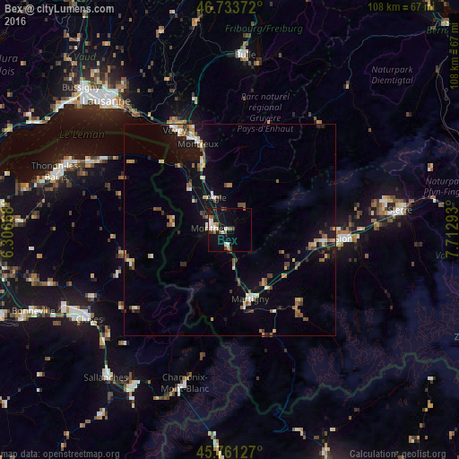
Analysis of Bex night lights 2016
Square area 10x10 km:
100  2.98%
2.98%
90-99 3.57%
80-89 1.19%
70-79 0.45%
60-69 2.53%
50-59 2.68%
40-49 1.79%
30-39 2.08%
20-29 1.34%
10-19 18.45%
0-9 62.95%
2.98%90-99
3.57%80-89
1.19%70-79
0.45%60-69
2.53%50-59
2.68%40-49
1.79%30-39
2.08%20-29
1.34%10-19
18.45%0-9
62.95%Square area 50x50 km:
100 0.41%
90-99 0.81%
80-89 0.67%
70-79 0.64%
60-69 0.65%
50-59 0.93%
40-49 1.07%
30-39 0.75%
20-29 0.57%
10-19 4.28%
0-9 89.22%
0.41%90-99
0.81%80-89
0.67%70-79
0.64%60-69
0.65%50-59
0.93%40-49
1.07%30-39
0.75%20-29
0.57%10-19
4.28%0-9
89.22%Clear (daylight) street map image can be seen on geolist.org.
Map coordinates:
46° 44' 1.4" North, 6° 18' 24" East
46° 14' 58.7" North, 7° 0' 35.3" East
45° 45' 40.6" North, 7° 42' 46.5" East
Some cities around Bex sort by population:
• Montreux
21.7 km =13.5 mi,  339°
339°
• Monthey
4.3 km =2.7 mi,  277°
277°
• Martigny-Ville
17 km =10.6 mi,  163°
163°
• Aigle
8.4 km =5.2 mi, 335°
• Ollon
5.2 km =3.2 mi,  345°
345°
• Conthey
22.7 km =14.1 mi,  97°
97°
• Collombey
5.5 km =3.4 mi,  299°
299°
• Fully
14.8 km =9.2 mi,  146°
146°
2661527 (p: 5,956)
Sources (retrieved 2019-11-25):
» Earth at Night: Flat Maps 2012, 2016