Fribourg night lights from space
Night Light of Fribourg from space (Switzerland) Src. Average luminocity for 10x10km area is 29.6815% and for 50x50km: 8.0088%.
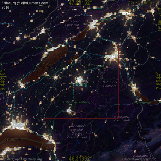
Analysis of Fribourg night lights 2016
Square area 10x10 km:
 6.1%
6.1%90-99
6.99%80-89
1.19%70-79
2.68%60-69
1.93%50-59
4.46%40-49
1.64%30-39
2.98%20-29
4.61%10-19
43.01%0-9
24.4%Square area 50x50 km:
1.03%90-99
1.26%80-89
0.68%70-79
0.85%60-69
0.84%50-59
1.08%40-49
1.36%30-39
1.01%20-29
2.08%10-19
6.02%0-9
83.8%Clear (daylight) street map image can be seen on geolist.org.
Map coordinates:
47° 16' 53.5" North, 6° 26' 53.3" East
46° 48' 8.5" North, 7° 9' 4.6" East
46° 19' 8.1" North, 7° 51' 15.8" East
Some cities around Fribourg sort by population:
• Köniz
24.2 km =15 mi,  55°
55°
• Bulle
21.7 km =13.5 mi,  199°
199°
• Villars-sur-Glâne
2.9 km =1.8 mi,  243°
243°
• Payerne
16.4 km =10.2 mi,  277°
277°
• Marly
3.1 km =1.9 mi,  160°
160°
• Düdingen
6 km =3.7 mi,  30°
30°
• Murten/Morat
14.2 km =8.8 mi,  349°
349°
• Estavayer-le-Lac
23.8 km =14.8 mi, 282°
2660718 (p: 32,827)
Sources (retrieved 2019-11-25):
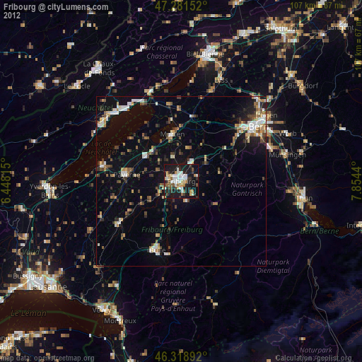
» Earth at Night: Flat Maps 2012, 2016