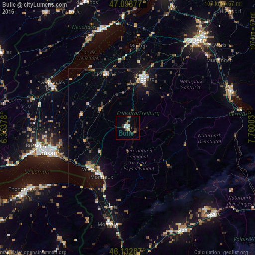
Bulle night lights from space
Night Light of Bulle (Fribourg) from space (Switzerland) Src. Average luminocity for 10x10km area is 12.6151% and for 50x50km: 4.9895%.
Analysis of Bulle night lights 2016
Square area 10x10 km:
 2.27%
2.27%90-99
1.7%80-89
0.28%70-79
0.85%60-69
1.42%50-59
1.99%40-49
1.7%30-39
3.13%20-29
2.56%10-19
3.41%0-9
80.68%Square area 50x50 km:
0.57%90-99
0.63%80-89
0.29%70-79
0.67%60-69
0.58%50-59
0.72%40-49
0.91%30-39
0.67%20-29
1%10-19
4.18%0-9
89.76%Clear (daylight) street map image can be seen on geolist.org.
Map coordinates:
47° 5' 55.6" North, 6° 21' 13.6" East
46° 37' 4.7" North, 7° 3' 24.8" East
46° 7' 58.3" North, 7° 45' 36.1" East
Some cities around Bulle sort by population:
• Fribourg
21.7 km =13.5 mi,  19°
19°
• Montreux
23.4 km =14.5 mi,  208°
208°
• Ecublens
19 km =11.8 mi,  266°
266°
• Villars-sur-Glâne
19.7 km =12.2 mi,  13°
13°
• Marly
19.4 km =12.1 mi,  25°
25°
• Saanen
21.1 km =13.1 mi,  132°
132°
• Blonay
20.7 km =12.9 mi,  216°
216°
• Châtel-Saint-Denis
15.6 km =9.7 mi,  229°
229°
2661337 (p: 12,095)
Sources (retrieved 2019-11-25):
» Earth at Night: Flat Maps 2012, 2016