Basel night lights from space
Night Light of Basel (Basel-City) from space (Switzerland) Src. Average luminocity for 10x10km area is 74.0412% and for 50x50km: 17.6069%.
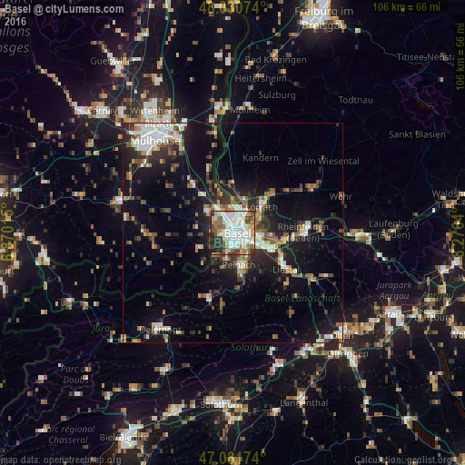
Analysis of Basel night lights 2016
Square area 10x10 km:
 25.14%
90-99
21.31%80-89
6.39%70-79
7.1%60-69
6.82%50-59
10.09%40-49
6.25%30-39
8.81%20-29
6.82%10-19
1.28%0-9
0%Square area 50x50 km:
3.04%90-99
2.95%80-89
1.3%70-79
1.64%60-69
1.98%50-59
2.62%40-49
2.53%30-39
3.21%20-29
4.95%10-19
12.03%0-9
63.74%Clear (daylight) street map image can be seen on geolist.org.
Map coordinates:
48° 1' 50.7" North, 6° 52' 12.5" East
47° 33' 30.2" North, 7° 34' 23.8" East
47° 4' 54.3" North, 8° 16' 35" East
Some cities around Basel sort by population:
• Saint-Louis, FR
3.9 km =2.4 mi,  344°
344°
• Allschwil
2.9 km =1.8 mi,  253°
253°
• Binningen
2 km =1.2 mi,  188°
188°
• Münchenstein
5.2 km =3.2 mi,  148°
148°
• Birsfelden
3.8 km =2.4 mi,  99°
99°
• Oberwil
5.1 km =3.2 mi, 193°
• Huningue, FR
5.2 km =3.2 mi,  3°
3°
• Bottmingen
3.9 km =2.4 mi,  181°
181°
2661604 (p: 164,488)
Sources (retrieved 2019-11-25):
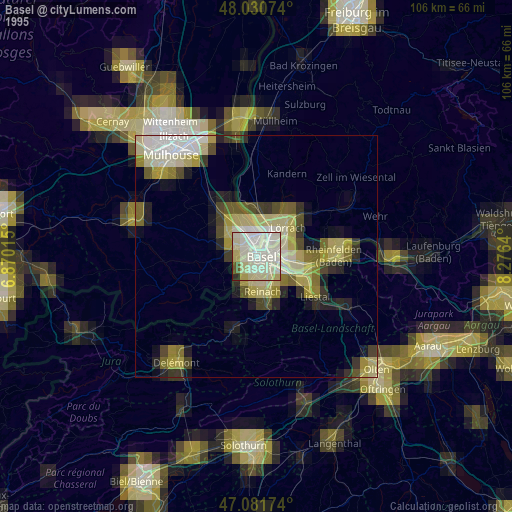
» NASA, Earths city lights 1995
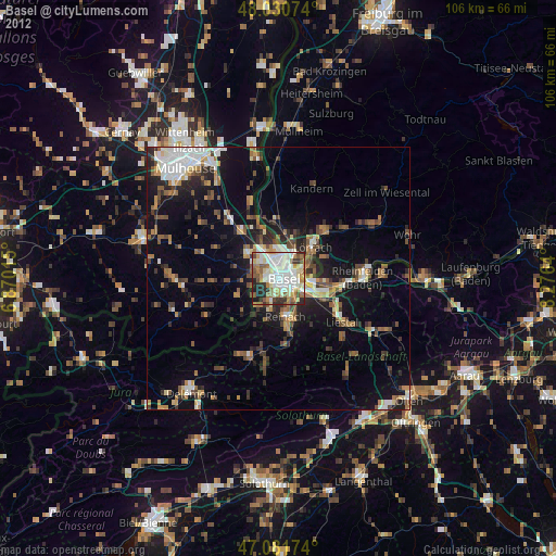
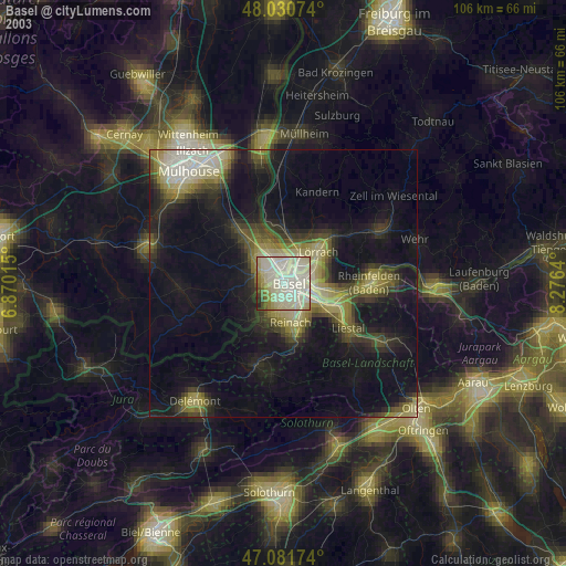
» NASA city lights 2003
» Earth at Night: Flat Maps 2012, 2016