Saint-Louis night lights from space
Night Light of Saint-Louis (Grand Est) from space (France) Src. Average luminocity for 10x10km area is 67.9503% and for 50x50km: 18.5857%.
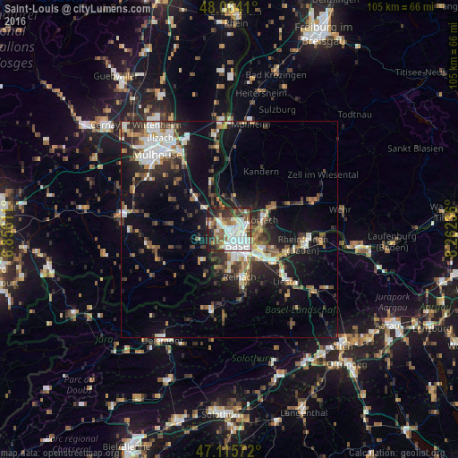
Analysis of Saint-Louis night lights 2016
Square area 10x10 km:
 23.58%
90-99
18.89%80-89
3.69%70-79
5.82%60-69
5.4%50-59
9.94%40-49
6.96%30-39
7.95%20-29
13.92%10-19
3.84%0-9
0%Square area 50x50 km:
3.37%90-99
3.18%80-89
1.39%70-79
1.83%60-69
1.99%50-59
2.75%40-49
2.53%30-39
3.48%20-29
5.18%10-19
12.18%0-9
62.12%Clear (daylight) street map image can be seen on geolist.org.
Map coordinates:
48° 3' 50.8" North, 6° 51' 22" East
47° 35' 31.4" North, 7° 33' 33.2" East
47° 6' 56.6" North, 8° 15' 44.5" East
Some cities around Saint-Louis sort by population:
• Basel, CH
3.9 km =2.4 mi,  164°
164°
• Weil am Rhein, DE
4.6 km =2.9 mi,  88°
88°
• Riehen, CH
6.7 km =4.2 mi,  102°
102°
• Allschwil, CH
4.9 km =3 mi,  200°
200°
• Binningen, CH
5.8 km =3.6 mi,  172°
172°
• Birsfelden, CH
6.5 km =4 mi,  132°
132°
• Efringen-Kirchen, DE
6.5 km =4 mi,  4°
4°
• Huningue
2 km =1.2 mi,  44°
44°
2978742 (p: 20,871)
Sources (retrieved 2019-11-25):
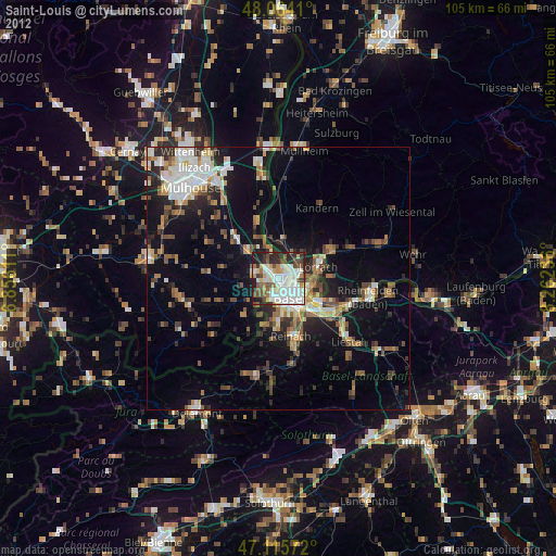
» Earth at Night: Flat Maps 2012, 2016