Dornbirn night lights from space
Night Light of Dornbirn (Vorarlberg) from space (Austria) Src. Average luminocity for 10x10km area is 23.3011% and for 50x50km: 6.9616%.
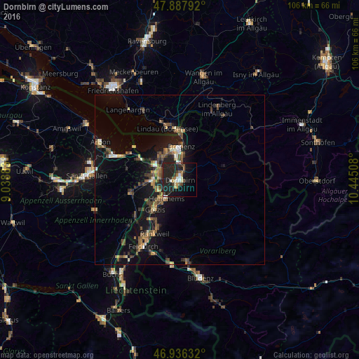
Analysis of Dornbirn night lights 2016
Square area 10x10 km:
 1.99%
1.99%90-99
3.55%80-89
1.99%70-79
1.99%60-69
1.7%50-59
3.55%40-49
2.7%30-39
2.98%20-29
18.04%10-19
28.27%0-9
33.24%Square area 50x50 km:
0.26%90-99
0.69%80-89
0.58%70-79
0.84%60-69
1.08%50-59
1.34%40-49
1.6%30-39
1.13%20-29
1.94%10-19
7.29%0-9
83.25%Clear (daylight) street map image can be seen on geolist.org.
Map coordinates:
47° 53' 16.5" North, 9° 2' 19.8" East
47° 24' 51.4" North, 9° 44' 31" East
46° 56' 10.8" North, 10° 26' 42.3" East
Some cities around Dornbirn sort by population:
• Lustenau
6.4 km =4 mi,  282°
282°
• Hohenems
6.9 km =4.3 mi,  219°
219°
• Hard
8.8 km =5.5 mi,  329°
329°
• Lauterach
6.9 km =4.3 mi,  352°
352°
• Wolfurt
5.9 km =3.7 mi,  5°
5°
• Au, CH
8.3 km =5.2 mi, 282°
• Diepoldsau, CH
7.2 km =4.5 mi,  244°
244°
• Sankt Margrethen, CH
8.9 km =5.5 mi,  298°
298°
2780741 (p: 49,278)
Sources (retrieved 2019-11-25):
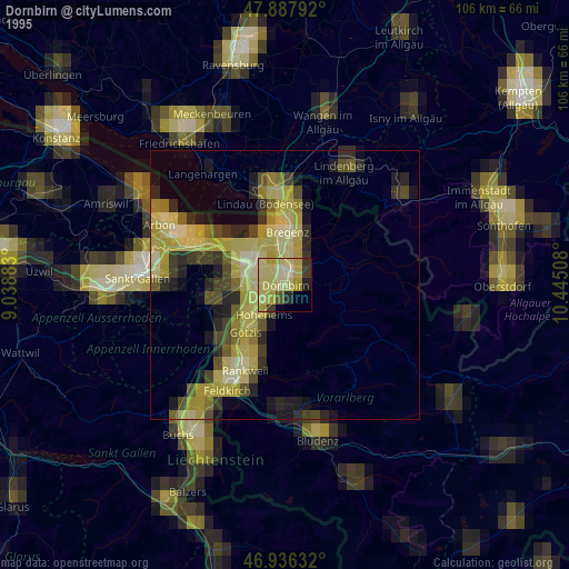
» NASA, Earths city lights 1995
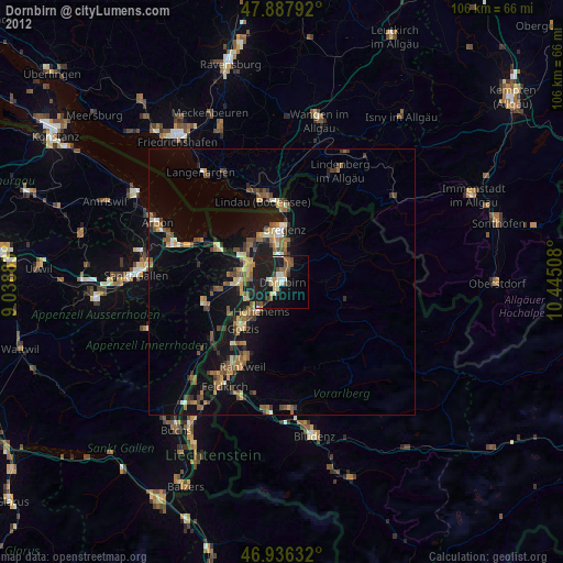
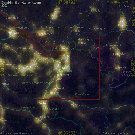
» NASA city lights 2003
» Earth at Night: Flat Maps 2012, 2016